http unmultimedia org photo guidelines jsp river basins
play

http://www.unmultimedia.org/photo/guidelines.jsp River Basins and - PowerPoint PPT Presentation

IISD GWSP Conference on the Water-Energy-Food Security Nexus May 1 5 2012 Amudarya River Basin Preliminary results of the GCI II survey http://www.unmultimedia.org/photo/guidelines.jsp River Basins and the Water-Energy-Food Security


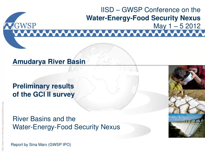
  1. IISD – GWSP Conference on the Water-Energy-Food Security Nexus May 1 – 5 2012 Amudarya River Basin Preliminary results of the GCI II survey http://www.unmultimedia.org/photo/guidelines.jsp River Basins and the Water-Energy-Food Security Nexus Report by Sina Marx (GWSP IPO)

  2. The Amudarya Basin – Catchment Overview Largest river in Central Asia Afghanistan, Kyrgyzstan, Tajikistan, Turkmenistan, Uzbekistan source: Pamir, Hindukush (~ 7,500 m) mouth: delta in the Aral Sea (300 – 500m) length: 2540 km catchment area: 309,000 km2 annual flow: 73.6 km3

  3. The Amudarya Basin – Historical Background Soviet Union : • energy and water resources in the region centrally planned  Imbalance between water availability and abstraction due to command economy

  4. Water efficiency • Outdated irrigation techniques with high water consumption and a high evaporation rate on the fields are still applied (e.g. water loss from the huge Karakum Canal is estimated at one to two-thirds of the total flow) • According to UNDP Central Asia has the lowest water use efficiency in the world • 50% to 80% of irrigation water is lost before reaching the fields

  5. Water quantity • heavy water loss (up to 40%) due to outdated irrigation canals • population growth: 14 million (1960) 50 million (2010)

  6. The Amudarya Basin – Water Quality and Quantity Water quality water pollution from agricultural, industrial and municipal waste- and drainage waters major pollution sources collector drainage waters from irrigated fields: about 3-4 km3 are discharged directly into the river every year  health issues

  7. Preliminary analysis – land use Irrigation  after 1990 the growth of irrigated areas decreased significantly  no equitable access to WR and decision-making about WRM  shift from cotton to wheat, rice etc.

  8. Preliminary analysis – Hydropower  only 8% of basin’s hydropower potential developed  whereas almost 90% of water used for agriculture  Tajikistan, Kyrgyzstan and Afghanistan intend to develop hydropower potential to cover growing domestic energy demand, export energy and decrease energy dependence on hydrocarbon-rich neighbours

  9. Preliminary analysis – Hydropower • downstream riparians claim that uncoordinated and unilateral actions may have impact on water and ecological security in the region  irrigation mode vs. energy mode  90 per cent of Turkmenistan’s and Uzbekistan’s water supply originate outside their borders •Afghanistan, where about 20% of Amu Darya’s water originate but only around 8% are utilized, plans to develop water resources which will increase the water intake from the rivers in Afghanistan

  10. Preliminary analysis – Governance In 1992 the heads of states created the: • Interstate Council for the Aral Sea, which led to the establishment of the International Fund for the Aral Sea (IFAS) and the Intergovernmental Sustainable Development Commission (ISDC) • The Interstate Commission for Water Coordination (ICWC) with its two River Basin Organisations for the Amu Darya and Syr Darya, plus a scientific arm called the Scientific Information Centre to support technical needs - joint management of interstate water resources - responsible for water allocation, monitoring, and water use

  11. Preliminary analysis – Governance Problems • Previously agreed water allocation policies do not satisfy all the stakeholders’ interests, in particular irrigation versus hydropower generation • Afghanistan, major contributor to the Amu Darya river flow, is not part of the legal or institutional framework  Once stability returns, Afghanistan could become a player in the basin and will need to be integrated in water negotiations and agreements

  12. Biodiversity and the Nexus 1989 and 2009 • disastrous effects of rapid, massive cotton monoculture in Central Asia → Aral Sea disaster 80% turned into a desert • 1989: sea split into 2 separate bodies • 2009: southeastern part of the sea virtually disappeared • water level in South dropped by 26 m • shoreline has receded several 100 km

  13. Biodiversity and the Nexus 1989 and 2008 • catastrophic impacts on biodiversity, ecosystem and human health and local economy • historical water-food-energy-nexus without consideration of aquatic ecosystems

  14. Summary and Way Forward • Political system change: disintegration of regional water-food-energy-nexus • current water management regime in basin rather resistant to change despite external and internal pressures • Way Forward • Reform and re-empowerment of regional and national institutions • Regional and international fora to give room for discussions and cooperation

Download Presentation
Download Policy: The content available on the website is offered to you 'AS IS' for your personal information and use only. It cannot be commercialized, licensed, or distributed on other websites without prior consent from the author. To download a presentation, simply click this link. If you encounter any difficulties during the download process, it's possible that the publisher has removed the file from their server.

Recommend


More recommend