
SLIDE 1
WLPC_EU Prague 2018
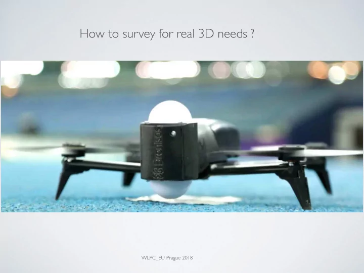
How to survey for real 3D needs ? WLPC_EU Prague 2018 Design - - - PowerPoint PPT Presentation
How to survey for real 3D needs ? WLPC_EU Prague 2018 Design - Survey - Deployment - Audit - Training Cdric Terrier CWNE #235 (CWNT) cedric.terrier@wattiswifi.com @wattiswifi Golocalisation : Camera GPS Communication : Manage
WLPC_EU Prague 2018
CWNE #235 (CWNT)
cedric.terrier@wattiswifi.com @wattiswifi
Design - Survey - Deployment - Audit - Training
INDOOR 10 to 20 drones 100 to 200 m2 Wi-Fi 1 or 2 Access Point 2 SSID Drones 2.4 & 5 ghz
OUTDOOR 100 to 200 … drones Wi-Fi 4 to 8 Access Point 2 or 4 SSID Drones 2.4 & 5 ghz
OUTDOOR 100 to 200 … drones Wi-Fi 4 to 8 Access Point 2 or 4 SSID Drones 2.4 & 5 ghz
OUTDOOR 100 to 200 … drones Wi-Fi 1 or 2 Access Point (UniFi) 1 or 2 SSIDs Drones 2.4 & 5 ghz
BSSID SSID wiFiBand RSSI level capture Timestamp GPS Timestamp la:tude longitude al:tude f0:9f:c2:27:d2:bc ssid_24G GHZ2
1,52534E+12 44.68140514
106.0 30.40 f2:9f:c2:28:d2:bc ssid_5G GHZ5
1,52534E+12 44.68140514
106.0 30.40