
SLIDE 1
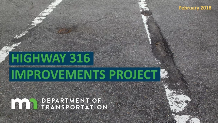
HIGHWAY 316 IMPROVEMENTS PROJECT
February 2018
HIGHWAY 316 IMPROVEMENTS PROJECT Agenda A Message from the City 1 - - PowerPoint PPT Presentation
February 2018 HIGHWAY 316 IMPROVEMENTS PROJECT Agenda A Message from the City 1 Project Area 2 Traffic Conditions 3 Pedestrian/Bicycle Comfort & Safety 4 Next Steps 5 Q&A City y of Has astings Supports a study of
February 2018
1
2
3 4
5
Hwy 316 improvements.
concerns for drivers, pedestrians, and bicyclists.
Hastings residents and MnDOT to develop and implement a plan that improves safety and traffic flow in this area.
1
2
3 4
5
The Hwy 316 Project Area extends from the north junction of Hwy 61 and Hwy 316 to the south junction of Hwy 61 and Hwy 316. The Evaluation Area extends from the north junction of Hwy 61 and Hwy 316 to south of Tuttle Dr.
Hastings Miesville
deteriorating and will be improved in 2021
freight, pedestrians and bicyclists all share the road
are difficult during peak times
crossings and trail/sidewalk connections
Evaluate existing safety & traffic conditions and determine access needs Improve access to local businesses, homes, and neighborhoods Evaluate pedestrian and bicycle facility
Maximize existing infrastructure to make improvements
$
$
$MnDOT and the City of Hastings are open to finding additional funding to support additional infrastructure improvements, but the cost and impacts must be considered.
Pavement Repair ($860,000) Pavement Repair + Related Improvements ($6.8 Million) Trail + Related Improvements ($540,000) NORTH JUNCTION OF HWY 61 TO SOUTH OF TUTTLE DR. SOUTH OF TUTTLE DR. TO SOUTH JUNCTION OF HWY 61
$1.4 MILLION $6.8 MILLION TOTAL PROJECT BUDGET: $8.2 MILLION
1
2
3 4
5
than Hwy 61 in this area
trip lengths that exceed 30 miles
vehicles
trucks
316 begin or end in Red Wing
316 begin or end in Hastings
A speed study conducted by MnDOT shows that many vehicles travel 5-10 mph over the speed limit throughout the corridor. 15% of vehicles travel even faster than that!
These short trips could become bicycle or pedestrian trips with facility upgrades and identified street crossings
During peak hours - especially on the north end of the evaluation area - it is difficult to access Hwy 316. Left turn movements are difficult to make into and
The steady flow of traffic
increased delay times and queuing on side streets and in turn lanes.
These short trips could become bicycle or pedestrian trips with facility upgrades and identified street crossings
These short trips could become bicycle or pedestrian trips with facility upgrades and identified street crossings Majority of passenger vehicle trips are 30-40 miles one- way Majority of truck trips are 50-100+ miles one-way
1
2
3 4
5
Residents want more designated trails and sidewalks and identified street crossings to access parks, businesses and community activities. These areas have a high potential for pedestrian/bicycle crossings.
1
2
3 4
5
Data-Gathering/ Community Engagement Alternatives Evaluation Community Engagement Design Recommendations
Pavement Resurfacing Winter 2018 Winter 2018 Spring 2018 Summer 2018
Preliminary Design
Summer 2019
Final Design
Winter 2020
Complete a Comment Form Visit our Interactive Station Comment on our Interactive Map
1
2
3 4
5