
SLIDE 1
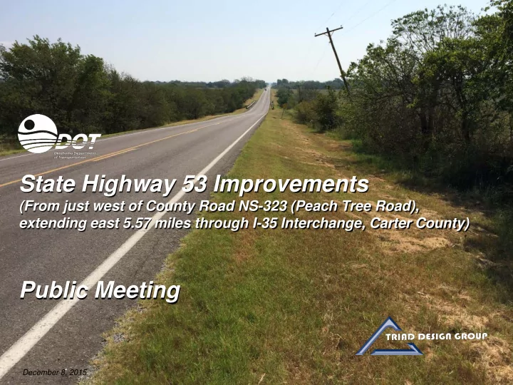
State Highway 53 Improvements
(From just west of County Road NS-323 (Peach Tree Road), extending east 5.57 miles through I-35 Interchange, Carter County)
Public Meeting
December 8, 2015
State Highway 53 Improvements (From just west of County Road NS-323 - - PowerPoint PPT Presentation
State Highway 53 Improvements (From just west of County Road NS-323 (Peach Tree Road), extending east 5.57 miles through I-35 Interchange, Carter County) Public Meeting December 8, 2015 State Highway 53 Improvements Introductions ODOT
State Highway 53 Improvements
(From just west of County Road NS-323 (Peach Tree Road), extending east 5.57 miles through I-35 Interchange, Carter County)
Public Meeting
December 8, 2015
State Highway 53 Improvements
Introductions
State Highway 53 Improvements
Meeting Purpose
State Highway 53 Improvements
Existing Facility
statewide rate of 82.2)
State Highway 53 Improvements
Purpose and Need
State Highway 53 Improvements
Project Extents
From just west of NS-323 (Peach Tree Road), extending east 5.57 miles through the I-35 Interchange
State Highway 53 Improvements
Accidents, 2004 - 2015
ACCIDENT DATA LEGEND
State Highway 53 Improvements
Proposed Project
State Highway 53 Improvements
Proposed Project – Typical Section
(typically 28 feet minimum)
Proposed Improvements
State Highway 53 Improvements
Alternatives Considered
State Highway 53 Improvements
Alternatives Considered
Improvement on Existing Alignment
State Highway 53 Improvements
Alternative 1: North Offset
OFFSET 65 FEET TO THE NORTH
MATCH LINE MATCH LINE
State Highway 53 Improvements
Alternative 2: South Offset
OFFSET 65 FEET TO THE SOUTH
MATCH LINE MATCH LINE
State Highway 53 Improvements
Alternative 3: Combination Offset North and South
OFFSET 65 FEET TO THE NORTH AND SOUTH
Crossing just west of County Road NS 325.8 (i.e., Walker Road)
MATCH LINE MATCH LINE
WALKER ROAD (NS 325.8)
Reconnaissance Performed to Identify Constraints
State Highway 53 Improvements
Constraints Mapping
State Highway 53 Improvements
Project Extents
From just west of NS-323 (Peach Tree Road), extending east 5.57 miles through the I-35 Interchange
State Highway 53 Improvements
Wetlands and Waters
State Highway 53 Improvements
Underground Storage Tanks
State Highway 53 Improvements
Residences and Commercial Facilities
State Highway 53 Improvements
Utilities
State Highway 53 Improvements
Composite Constraints Map
State Highway 53 Improvements
Comparison of Alternatives
Comparison Parameters* North Offset South Offset Combination North and South
Environmental Impacts (Approximate) Wetlands Impacts (ac.) 4.09 0.60 1.79 Stream Rechannelization (ft.) 405 230 Utility Impacts Utilities Impacted Fiber Optic Communications Water Electric Fiber Optic Communications Water Gas Electric Fiber Optic Communications Water Right-of-Way Impacts Potential Residential Relocations 1 Potential Commercial Properties Impacted 1 1 Total Project Cost** Estimated Construction Costs $20,058,500 $21,263,400 $20,933,000 Estimated Right-of-Way Costs $649,700 $285,400 $375,500 Estimated Utilities Costs $1,050,100 $1,552,300 $1,147,100 Estimated Total Costs $21,758,300 $23,101,100 $22,455,600
*: All other parameters same for all alternatives. **: Does not include wetlands/waters mitigation costs. State Highway 53 Improvements
Noise Impacts Evaluation
Alternative 3: Combination Offset North and South
State Highway 53 Improvements
Preferred Alternative
State Highway 53 Improvements
What Happens Next?
State Highway 53 Improvements
Roadway Improvement Process
www.odot.org/public meetings
Oklahoma Department of Transportation Environmental Programs Division 200 N. E. 21st Street Oklahoma City, OK 73105
(405) 522-5193
Odot-environment@odot.org
State Highway 53 Improvements
Submit Your Comments
State Highway 53 Improvements