
SLIDE 1
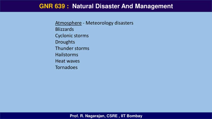
Atmosphere - Meteorology disasters Blizzards Cyclonic storms Droughts Thunder storms Hailstorms Heat waves Tornadoes
GNR 639 : Natural Disaster And Management
- Prof. R. Nagarajan, CSRE , IIT Bombay