
SLIDE 1
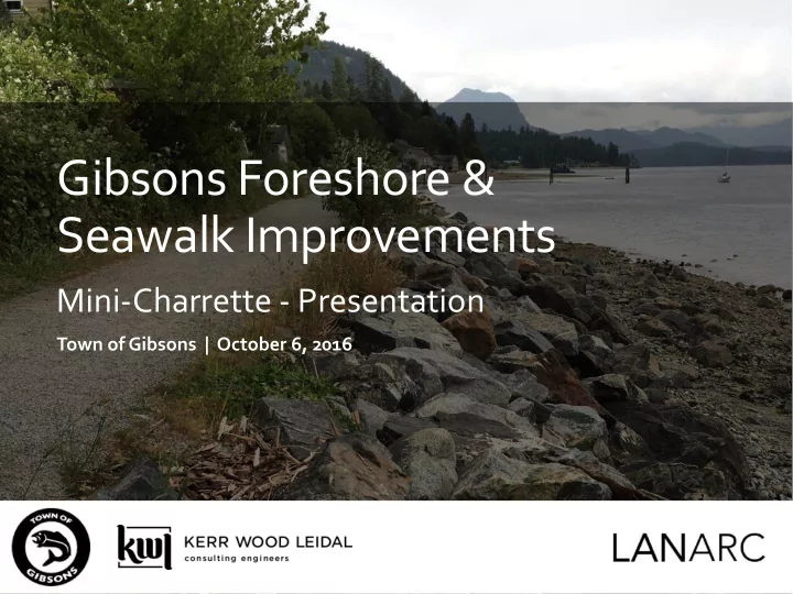
Gibsons Foreshore & Seawalk Improvements
Mini-Charrette - Presentation
Town of Gibsons | October 6, 2016
Gibsons Foreshore & Seawalk Improvements Mini-Charrette - - - PowerPoint PPT Presentation
Gibsons Foreshore & Seawalk Improvements Mini-Charrette - Presentation Town of Gibsons | October 6, 2016 Our Team Consulting Team Dave Murray , Project Manager, Water Resources Engineer, KWL David Reid, Facilitator, Landscape
Town of Gibsons | October 6, 2016
Consulting Team
Town of Gibsons
1.0 Morning Session = Charrette Participants & Designers 2.0 Afternoon Session = Designers (Optional for Charrette Participants)
3.0 Evening Session = Open House (Charrette Participants, Designers, and Public)
8:45am Doors Open 9:00am Introductions & Background 9:45am Session A – Clarify Objectives (10:15am)
10:30am Session B – Design Ideas 11:30am Facilitated Integration – What Design Ideas Where? (12:oopm) --- End of Morning Session ---
(Key stakeholders invited to stay as participants in the “Designer Session”
1:00 pm Session C – Sorting Concepts Into Integrated Design Approach 1:45 am Session D – Production Assignments
As two working groups, each with planner, engineer, and landscape architect/biologist
(4:00 pm)
Town of Gibsons – Foreshore & Seawalk Improvements | 6
5:00 pm Doors Open to View Display (Informal Discussion) 5:30 pm Presentation
Clarified Objectives, Design Results (Options & Implementation Phasing)
6:15 pm Small Group Discussion of Results
Focused on Questions in a Response Form
6:30 pm Small Group Reporting
Consensus Points and Remaining Issues
7:00 pm Wrap-up & Next Steps
9
From Gibsons Wharf to Armours Beach
10
“generally refers to the area between the natural boundary
Foreshore
Access Slope Sewer
11
Lower Gibsons with Tanker at Wharf
(visible: Ballentine Block, Methodist church, Hill's Marine Shop, Marina House & other buildings along waterfront to Armours Beach, c1950)
Wharf at Gibsons Landing
(visible: large crowd waiting for the ferry with some waterfront buildings, c1952)
Photos (#2211, 423, 541) Courtesy of the Sunshine Coast Museum & Archives
Waterfront and Shoreline Buildings
(visible: immediately East of the Wharf looking towards Armours Beach and Soames Hill, c1950)
12
Ecosystem Services for a Range of Uses
13
Photo Tour
Wharf – Southern End of Study Area
14
Photo Tour
Access/Seawalk – Looking South to Wharf
15
Photo Tour
Access along properties
16
Photo Tour
Typical foreshore
17
Photo Tour
Cole’s Access
18
Photo Tour
Cole’s Old Marine Railway
19
Photo Tour
Armours Beach – Park and Seawalk
20
Photo Tour
Armours Beach
21
Foreshore – Northern End
Photo Tour
22
Eelgrass
Environmental Protection
23
Sanitary Sewer
Access (Maintenance and Seawalk)
intact but needs upgrade for access
Armours Beach
24
25
Physical: Beach slope and size of material (sand, gravel, cobble are critical design constraints Climate Change: Possible storm surge increases Estimated sea level rise of 0.5 m by 2050 and 1.0 m by 2100 Biological: The upper intertidal area is largely devoid of
Sea Lettuce, Mussels, Barnacles, Sea Stars and trace Oyster The backshore area along the public walkway is largely devoid
A fringing and continuous patch of eelgrass appears to be expanding in the nearshore area
26
“Meadows of the ocean”
moderate shoreline wave action
nurseries and feeding areas, and marine corridors
eelgrass transplants in the mid 1980’s
size and location) and then was updated in 2013
especially along the NW shoreline
Eelgrass
27
Coastal Shore Jurisdiction in BC
28
highlighted
trade offs to protect Eelgrass
Regulatory Approval Required- Review/Authorization
29
Town of Gibsons – Foreshore & Seawalk Improvements | 30
and habitats
More natural tree/shrub backshore or More gentle built shoreline?
Existing Beach Typical Cross Section
Sewer 8H:1V 5H:1V 10H:1V 5H:1V Wave Run-up
2H:1V = 2.3 m 4:1 = 1.14 m 8:1 = 0.6 10:1 = 0.45 m
Future With SLR- Beach Typical Cross Section Sewer 8H:1V 5H:1V 10H:1V 5H:1V
Town of Gibsons – Foreshore & Seawalk Improvements | 34
Note: the exposure of the Gibsons shoreline to wind and waves will require a customized approach – however these precedents provide general examples of alternative shoreline treatments.
Town of Gibsons – Foreshore & Seawalk Improvements | 35
BEFORE AFTER
Town of Gibsons – Foreshore & Seawalk Improvements | 36
BEFORE AFTER
Town of Gibsons – Foreshore & Seawalk Improvements | 37
BEFORE AFTER
Town of Gibsons – Foreshore & Seawalk Improvements | 38
2008
BEFORE AFTER AFTER
Town of Gibsons – Foreshore & Seawalk Improvements | 39
Town of Gibsons – Foreshore & Seawalk Improvements | 40
GS Ratings Pilot Project #1-
Town of Gibsons – Foreshore & Seawalk Improvements | 41
Timber wall removal, beach replenishment and planting GS Ratings Pilot Project #1-
Town of Gibsons – Foreshore & Seawalk Improvements | 42
Riprap rock buried and logs balasted
Town of Gibsons – Foreshore & Seawalk Improvements | 43
Sandlance, food for salmon, spawn on beaches
Feeding and resting habitat for migratory birds
Shoreline dikes over 200 years?
end of building life – maintain property values.
Flood Level Existing 200 year SLR 2100 High Tide &Storm Surge 2.74 3.74 Wave Effects 1.14 1.14 Freeboard 0.6 0.6 FCL 4.5 5.5
Cole’s Marina Cross Section
More natural tree/shrub backshore or More engineered and built shoreline?
Define the parameters
What design life? 25, 50, 100 years? What flood level do we chose? What elevation for walkway/service road? What storm do we protect against? Distance from Eelgrass Beds? Beach slopes and size of material? Anchored logs? Beach elevation and will there be vegetation? Access points? Walkway width? Service road width? Cost premium and eco asset?
Define Criteria
enhancement
Recreation
1 hour session Reporting back at 11:30:
biologist, landscape architect, and planner.
ideas and influence people new to you!
disabled?)
1:00 pm Session C – Sorting Concepts Into Integrated Design Approach 1:45 am Session D – Production Assignments
As two working groups, each with one planner, engineer, and landscape architect
(4:00pm)
1:00 pm Session C – Sorting Concepts Into Integrated Design Approach 1:45 am Session D – Production Assignments
As two working groups, each with one planner, engineer, and landscape architect
(4:00pm)
landscape architect, and planner.
governments or developers.