
SLIDE 1
3/26/2019 1
FLOODPLAIN MANAGEMENT BEST PRACTICES
Dennis Dixon, CFM Pierce County Planning & Public Works Surface Water Management
March 22, 2019
Planning Association of Washington 2019 Land Use Boot Camp
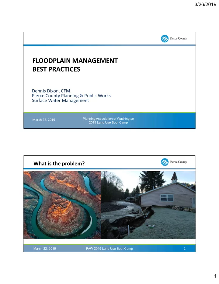
What is the problem?
PAW 2019 Land Use Boot Camp March 22, 2019 2