
SLIDE 1
Main Points
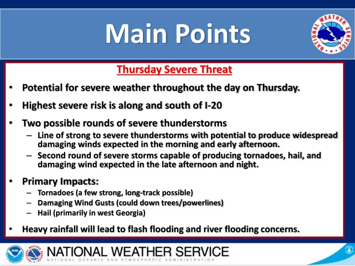
Thursday Severe Threat
- Potential for severe weather throughout the day on Thursday.
- Highest severe risk is along and south of I-20
- Two possible rounds of severe thunderstorms
– Line of strong to severe thunderstorms with potential to produce widespread damaging winds expected in the morning and early afternoon. – Second round of severe storms capable of producing tornadoes, hail, and damaging wind expected in the late afternoon and night.
- Primary Impacts:
– Tornadoes (a few strong, long-track possible) – Damaging Wind Gusts (could down trees/powerlines) – Hail (primarily in west Georgia)
- Heavy rainfall will lead to flash flooding and river flooding concerns.