Flight Patterns Ground Control Point Placement Flight Altitude and - - PowerPoint PPT Presentation

flight patterns ground control point placement flight
SMART_READER_LITE
LIVE PREVIEW

Flight Patterns Ground Control Point Placement Flight Altitude and - - PowerPoint PPT Presentation

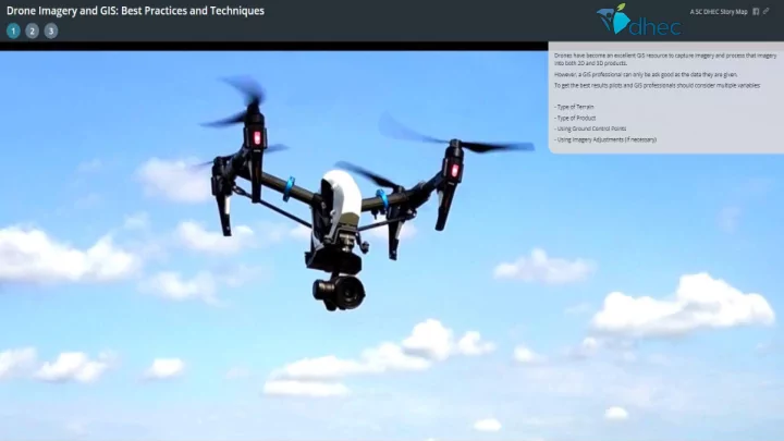
Flight Patterns Ground Control Point Placement Flight Altitude and Homogenous Features Drone Flight Projects Conestee Lake Dam- http://sc-dhec.maps.arcgis.com/apps/Cascade/index.html?appid=294934d7bbe345e1998ac720192a2649 (A story map


slide-1
SLIDE 1
slide-2
SLIDE 2
slide-3
SLIDE 3

Flight Patterns

slide-4
SLIDE 4
slide-5
SLIDE 5

Ground Control Point Placement

slide-6
SLIDE 6

Flight Altitude and Homogenous Features

slide-7
SLIDE 7
  • Conestee Lake Dam- http://sc-dhec.maps.arcgis.com/apps/Cascade/index.html?appid=294934d7bbe345e1998ac720192a2649

(A story map showing the possible use of 3D mapping.)

  • Chiquola Mill- http://sc-dhec.maps.arcgis.com/home/webscene/viewer.html?webscene=4d3cea13c5484a35b41dcc09cb0b9bd7

(Flight that processed and showed the issue of processing Drone imagery without GCPs and Altitude Adjustments.)

  • Garren Lake Dam- http://sc-dhec.maps.arcgis.com/apps/webappviewer3d/index.html?id=78963493516d4eb58738d6e2d6b3442c
  • Sabal Homes- http://sc-dhec.maps.arcgis.com/apps/webappviewer3d/index.html?id=436d7aa052124ec9a9c73ce7b176b24c\

(Two flight example of using GCPs and adjusting the Altitude properly to produce 3D WebApps.)

  • Viva Moncks Corner- http://sc-dhec.maps.arcgis.com/apps/MapSeries/index.html?appid=4b73f88c565e4a748a6510e3b2f45104
  • Able Construction- http://sc-dhec.maps.arcgis.com/apps/Compare/index.html?appid=122af285f54f41c8af6d24a27fe8485c

(Two flights that show the use of drones in a time change comparison capacity.)

  • Mariculture Flight- https://gis.dhec.sc.gov/gisportal/apps/webappviewer/index.html?id=2d6d98d4c2b849d19104a5cb033ceff9

(Imagery in the Web App shows the difficulty of working with water as a homogenous feature.)

Drone Flight Projects