
SLIDE 1
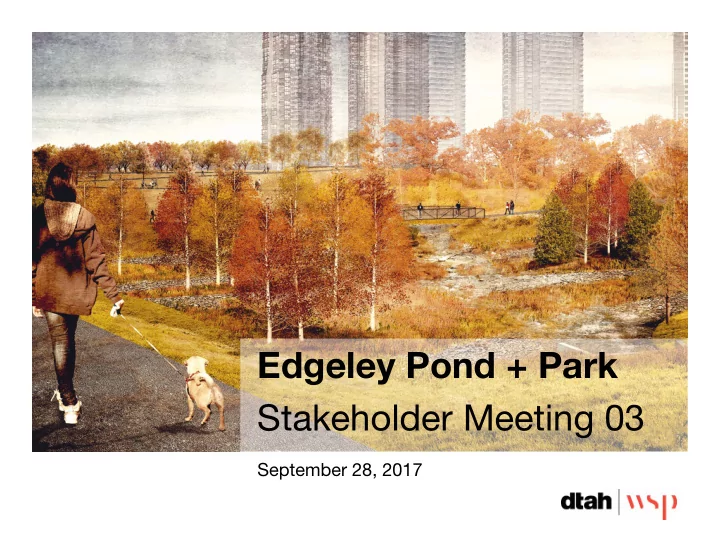
Edgeley Pond + Park Stakeholder Meeting 03
September 28, 2017
Edgeley Pond + Park Stakeholder Meeting 03 September 28, 2017 - - PowerPoint PPT Presentation
Edgeley Pond + Park Stakeholder Meeting 03 September 28, 2017 Presentation Overview 1. Introduction 2. Overview of the Preferred Design 1. What we have heard 2. SWM functionality 3. Park development and phasing 3. Discussion 2
September 28, 2017
1. Introduction 2. Overview of the Preferred Design 1. What we have heard 2. SWM functionality 3. Park development and phasing 3. Discussion
2
Q4=60% CD 2018 Q1=90% CD Q2=Tender
Black Creek Channel
Edgeley Pond and Park 4
COSMOS 833 residential units (proposed) 1,608 new residents*
2019/2020 (estimated)
ZZEN / MIDVALE 837 residential units (proposed) 1,615 new residents*
2019/2020 (estimated)
THE MET 572 residential units 1,104 new residents*
2018 (estimated)
EXPO CITY 1,935 residential units 3,735 new residents*
Phase 1 Towers 1 + 2 – 2016 Phase 2 Towers 3 + 4 – 2019 (estimated) Phase 3 Tower 5 – 2023 (estimated)
Private development concepts shown are renderings only and subject to Council approval *estimated
5
This new open space will act as a catalyst for the VMC by supporting its dynamic and fast-paced transformation through innovative ecologically-sensitive stormwater management design, creation of unique spaces, and the seamlessly integration of parkland amenities where VMC residents and visitors can interact, learn, play, and grow.
6
The Edgeley Park and Pond design is a dynamic and flexible framework. The design is based on the following guiding principles:
7
Concept 1 Sculpted Landforms Concept 2 Terraced Landforms Concept 3 Basins + Ecologies
8
Feedback:
balance of natural and urban elements, multiple pathways + less maintenance
be a priority
park and general park safety
concern
prominent feature off of Jane Street to signify park entry
park features are secondary
9
Construction summer 2018:
aquatic planting
mature vegetation
meadow planting
contract, timing TBD
10
shade structure with 4 WC + community room facility
11
12
simulations based on current Humber River watershed models for existing and future land use
include an additional consideration for future climate variability simulated by increasing flow rates by 20%
13
along west side
foliage to be preserved
reshape basin for flood control
inlets by OGS and LID treatment train approach
with urban plaza at northeast corner of Jane + Hwy 7
14
15
Proposed Culvert: 3.7m W x 1.5m H x 64.5m L 16
Ongoing grading design + coordination with Zzen + Midvale 17 increase berm length + height increase private drive slope
Proposed Culvert: 15m W x 3m H x 64.5m L 18
Proposed Culvert: 3.7m W x 1.5m H x 64.5m L + 8.5m W x 3mH x 64.5m L 19
2 hrs after rain storm start Peak – 2hr 48 min 4 hrs after rain storm start
Conceptual Representations 20
Conceptual Representations 21
47 min after rain storm start Peak – 1.5 hrs 3.5 hrs after rain storm start
Conceptual Representations 22
Conceptual Representations 23
design team and CoV
maintenance (eg play equipment, splash pad, adult exercise equipment maintenance etc.)
24
25
strata park area
east of The Met
equipment along MUP
points along Jane St and future Maplecrete Rd extension
26
no potable water top-off
feature will be wet or dry depending on storm events
water and plant material
directly to Black Creek
4m MUP and pedestrian connections to valley trails
Street
streetscape and views into the park
street tree planting with understory, maximize permeable surfaces
27
identified that include a mix of very public and high traffic routes as well as art that can be discovered along less traveled valley paths.
within the flood zone which will heighten the dramatic setting. Damage due to flood events will need to be evaluated prior to installation.
28
29
Historical Flooding Pylon Major Signage – Lit Pylon Minor Signage – Pylon
30
marsh and meadow planting
use areas, strata park, 1m buffers along valley trails and the amphitheater
perennial planting in urban plazas, urban mews and strata park
31
32
West Bridge Island Section East Bridge Typical Section
33
Elevation Plan Community Room WC Storage Utilities Storage WC WC WC Copper roof fascia and trim Ivory concrete panel Terracotta concrete panel Metal posts and doors Ipe wood bench top Concrete bench base
34
35
36
18 SPOTS 10 SPOTS 6 SPOTS 17 SPOTS 6 SPOTS TOTAL OF 57 SPOTS
37
18 SPOTS 10 SPOTS 6 SPOTS 17 SPOTS 6 SPOTS TOTAL OF 57 SPOTS
December 21 June 21
38
10:18 am 12:18 am 2:18 pm 4:18 pm
39
40
41
44
1. What are your thoughts on the preferred design and proposed phasing for Edgeley Pond + Park? 2. Do you have any advice / information for the City and consultant team to consider in moving forward with the development of the detailed design? 3. Any other advice for the City and consultant team?
45