
SLIDE 1
8th October 2013 Page # 1 of 13
Dumaresq Dam Safety
Background
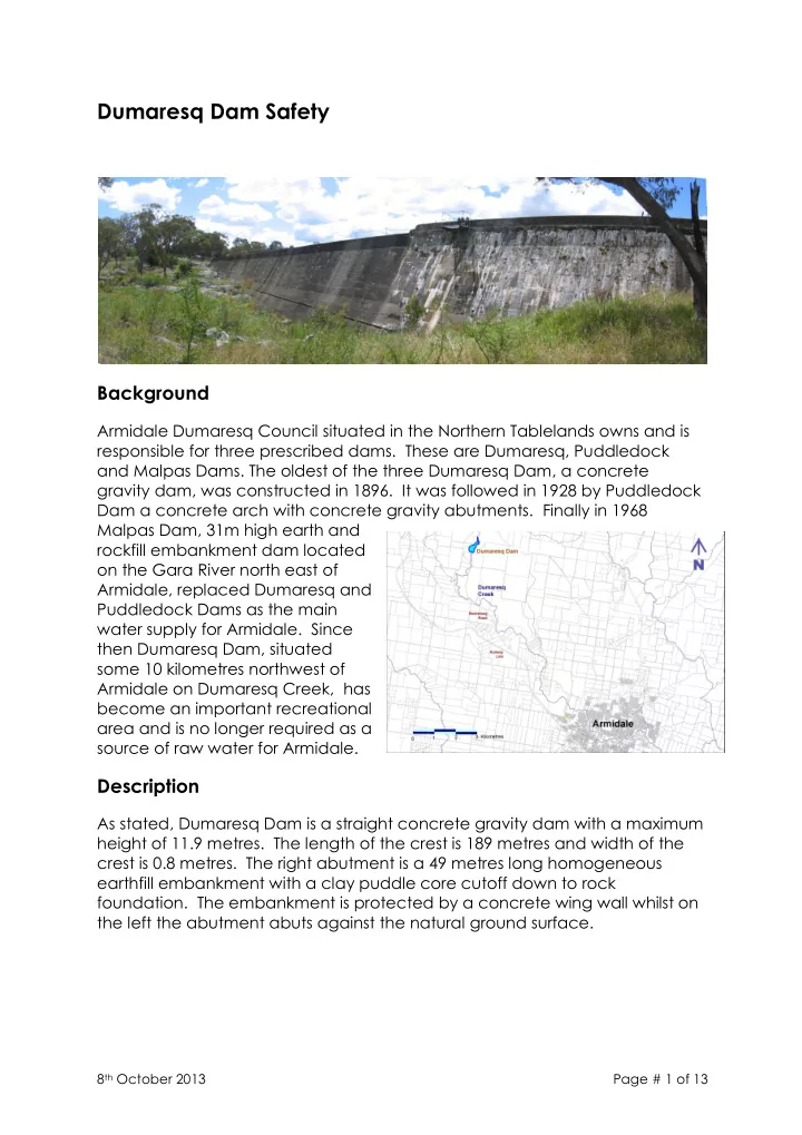
Armidale Dumaresq Council situated in the Northern Tablelands owns and is responsible for three prescribed dams. These are Dumaresq, Puddledock and Malpas Dams. The oldest of the three Dumaresq Dam, a concrete gravity dam, was constructed in 1896. It was followed in 1928 by Puddledock Dam a concrete arch with concrete gravity abutments. Finally in 1968 Malpas Dam, 31m high earth and rockfill embankment dam located
- n the Gara River north east of
Armidale, replaced Dumaresq and Puddledock Dams as the main water supply for Armidale. Since then Dumaresq Dam, situated some 10 kilometres northwest of Armidale on Dumaresq Creek, has become an important recreational area and is no longer required as a source of raw water for Armidale.
Description
As stated, Dumaresq Dam is a straight concrete gravity dam with a maximum height of 11.9 metres. The length of the crest is 189 metres and width of the crest is 0.8 metres. The right abutment is a 49 metres long homogeneous earthfill embankment with a clay puddle core cutoff down to rock
- foundation. The embankment is protected by a concrete wing wall whilst on