
SLIDE 1
Definitive Map Review Payhembury parish Definitive Map Review - - PowerPoint PPT Presentation
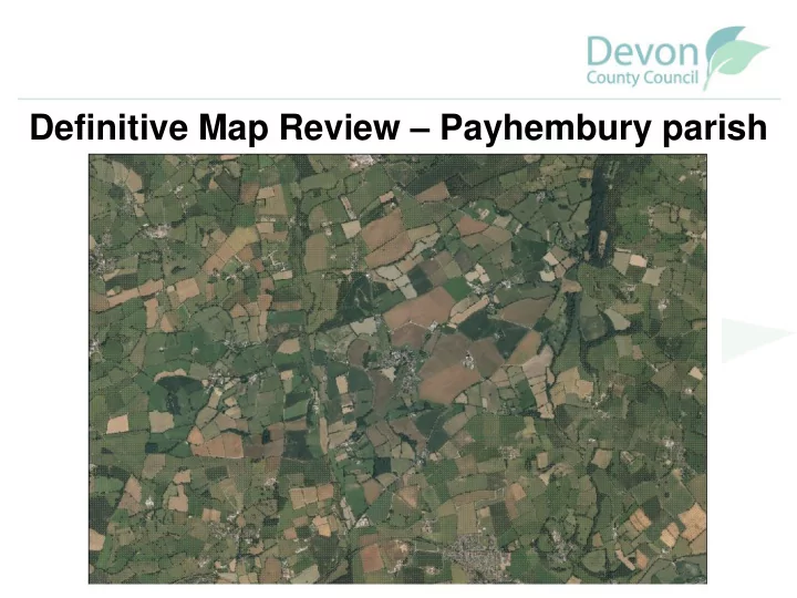
Definitive Map Review Payhembury parish Definitive Map Review Payhembury parish Public Rights of Way Definitive Map and Statement Payhembury paths How the Definitive Map Review process works What will happen next and
Walkers only Walkers, horse-riders and cyclists Walkers, cyclists, horse-riders and horse-drawn vehicles Walkers, cyclists, horse-riders, horse-drawn vehicles and motor vehicles
Made in 1950s but drawn on Ordnance Survey 2nd Edition 6” map from 1905
Payhembury Parish Council surveyed paths in the parish in September 1950 recommending which
should be recorded as public rights of way. Honiton Rural District Council and Devon County Council added comments. A draft map was published – the public could
recourse to the Secretary of State. Once objections had been determined a provisional map was published in 1963.
Paths were surveyed by C. J. Jarvis, H. Daniel and W. L. Carnell.
Payhembury Footpath No. 11
From: County Road A373 To: Hembury Fort The path is a Footpath. It starts at the Cullompton/Honiton Road, County Road A373, 150 yards south east of Hembury Fort Cross, and proceeds northwards looping over the remains of Hembury Fort, pre- Roman Fort of historical interest.
Also – Highways Act 1980: diversions funded by the landowners, within the parish and creations/dedications (ROWIP - Rights of Way Improvement Plan); extinguishments
Changes that can be made through the review process need to involve existing rights, not desired rights (these are dealt with separately). Changes can include the following:
Map & Statement that evidence indicates is wrong
Parish Map prepared Routes researched & evidence evaluated Old files checked Public meeting to explain review procedure Consultation map & schedule produced Public consultation
Definitive Map Review Procedure
Informal consultation
1 2 3 4 5 6
(Formal consultation)
Report to Committee - Authority to make Order(s) Inform Parish & Local Councils Order(s) published Objection period ends Unopposed Order(s) Order(s) confirmed Formal consultation
7 8 9 10 11
Opposed Order(s) Order(s) referred to Secretary of State Order(s) confirmed Order(s) not confirmed
12
(Statutory consultation)
Signs erected by landowner in 2012 stating ‘private woodland, no access’
Devon County Council subsequently received many user evidence forms from people who had used various routes across the land and wanted them recorded as public rights of way. Will be investigated as part of this review.