
SLIDE 1
Crown Land Issues: Rivers & Streams Neville Brayley Senior - - PowerPoint PPT Presentation
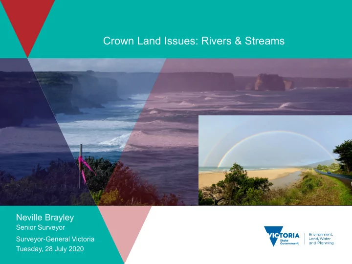
Crown Land Issues: Rivers & Streams Neville Brayley Senior Surveyor Surveyor-General Victoria Tuesday, 28 July 2020 Contents Victorian Land dealings from the 1830s 1880s Crown land status tenures and types circa the 1880s
2
3
4
5
6
7
8
9
10
11
12
13
14
15
16
17
18
19
20
21
22
23
24
25
26
27
28
29
30
31
32
33
34
35
36
37
38
39
40
41
42
43
44
45
46
47
48
49
50
51
52
53
54
55
56
57
58
59
60
61
62
63
64
65
66
67
68
69
70
71
72
73
74
75
76
77
78
79