
SLIDE 1
David Edwards Flood and Water Manager
North West Shropshire Flood Forum
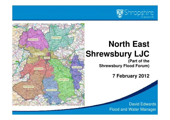
North East Shrewsbury LJC
(Part of the Shrewsbury Flood Forum)
North West Shropshire Flood Forum North East Shrewsbury LJC (Part - - PowerPoint PPT Presentation
North West Shropshire Flood Forum North East Shrewsbury LJC (Part of the Shrewsbury Flood Forum) 7 February 2012 David Edwards Flood and Water Manager North East Shrewsbury LJC Why do anything? Nothing new about flooding Occurs
David Edwards Flood and Water Manager
(Part of the Shrewsbury Flood Forum)
North East Shrewsbury LJC
farmland!
North East Shrewsbury LJC
North East Shrewsbury LJCNorthern Shrewsbury
North East Shrewsbury LJC
North East Shrewsbury LJC
North East Shrewsbury LJC
– Driveway extensions – Patios – Paths
North East Shrewsbury LJC
– Passed by cabinet on 15 June – Came into effect on 1 August
– Required for validation purposes – A great step forward – 10 – 15 applications per day
North East Shrewsbury LJC
– Main Rivers – Ordinary watercourses – Maintenance is critical
North East Shrewsbury LJC
North East Shrewsbury LJC
– Main Rivers – Ordinary watercourses – Maintenance is critical
– Flooding from larger watercourses – Main risk associated with River Severn and Battlefield Brook. Some other smaller tributaries also
North East Shrewsbury LJC
North East Shrewsbury LJC
– No Main Rivers – Ordinary watercourses – Maintenance is critical
– Flooding from larger watercourses – Main risk associated with River Severn and Battlefield Brook. Some other smaller tributaries also
– Flooding from runoff as it flows towards receiving body – A number of locations where roads may be affected
North East Shrewsbury LJC
North East Shrewsbury LJC
Shrewsbury
– Watercourses – Overland flows – Sewers
North East Shrewsbury LJC
– highlight problem areas – encourage a partnership approach – work with local communities – use the information gathered for the future
forum areas, based on: – Electoral boundaries – EA policy areas
North East Shrewsbury LJC
– Land Drainage Authority (ordinary watercourses) – Highway Authority – Lead Local Flood Authority
– Managing Authority for Main Rivers and Large Raised Reservoirs – Pollution of Watercourses – Strategic Overview
– Public Sewerage Systems
North East Shrewsbury LJC
North East Shrewsbury LJC
North East Shrewsbury LJC