flood sensorweb
play

Flood SensorWeb 10-16-08 Purpose Vision of Flood Sensor Web - PDF document

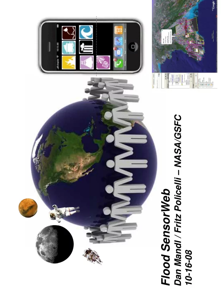
1 Dan Mandl / Fritz Policelli NASA/GSFC Flood SensorWeb 10-16-08 Purpose Vision of Flood Sensor Web Present status of Flood SensorWeb initiative Some relevant examples from Fire SensorWeb efforts Goal is to visualize


  1. 1 Dan Mandl / Fritz Policelli – NASA/GSFC Flood SensorWeb 10-16-08

  2. Purpose • Vision of Flood Sensor Web • Present status of Flood SensorWeb initiative • Some relevant examples from Fire SensorWeb efforts

  3. Goal is to visualize available satellite data and possible future satellite data in an area of interest on Google Earth Satellite imagery available on Myanmar flooding as a result of Nargis cyclone May 2008. 3

  4. Multi-asset campaign manager Collate user’s area of interest provides information on available with predicted flood potential existing images and possible future images/data products and triggers User selects desired theme workflows to get those products Disaster Management Information System (DMIS) Mozambique Workflows Global Flood Forecast Multi-spectral Radar Low resolution fast response High resolution Baseline water level, flood maps & related data products Vision: Theme- -Based Flood Product Generation Based Flood Product Generation 4 Vision: Theme

  5. Ran Experiment with Myanmar Floods Using What We Had • Ran experiment with Myanmar floods in collaboration with International Federation of Red Cross/Red Crescent (IFRC) Columbia Univ. International Research Institute Rainfall Anomaly Maps – TRMM Estimated Rainfall and Flood Potential Model – MODIS on Terra and Aqua for Flood Extend – EO-1 for more details – • Assessed results • Made plans to search for additional capability to more closely match Red Cross desired workflow 5

  6. Myanmar Flood Sensor Web Exercise 2 May Columbia Univ IRI Average climatic rainfall as compared to current Predicted rainfall. Thus looking for rainfall anomalies as Possible early flood warning. Category 3 -> 4 -> 2

  7. Myanmar Flood Sensor Web Exercise NARGIS TRMM Animation of Rainfall Progression (put in 7 presentation mode & click to see movie)

  8. Myanmar Flood Sensor Web Exercise NARGIS TRMM Animation of Flash Flood Potential (put in 8 presentation mode & click to see movie)

  9. Myanmar Flood Sensor Web Exercise 1. Real-time flood estimate using global These two data products hydrological model and satellite rainfall are only approximately estimate - Adler 1/8 of entire image available 4. Future experiment will Burma May 5, 2008 be to substitute predicted rainfall versus real time 15 km resolution rainfall estimate into Adler model to obtain predicted flood warning and automatically task EO-1 in area of interest and create MODIS and EO-1 data products Inundation Map from Dartmouth Flood 3. EO-1 Advanced Land Imager Observatory (using MODIS data) May 5, 2008 automatically triggered and pointed to 1 km resolution get more water depth details in area of interest. Water Depth Classifier True color Advanced Land Imager 30m May 5, 2008 Red - deep Yellow - medium 1 2. MODIS used to validate Green - medium 2 flood locations with direct Blue - shallow observation Black - no water 9

  10. Myanmar Flood Sensor Web Results & Future Work • Prediction/alerts are good • MODIS timely flood updates good We can improve the timeliness to MODIS flood data to daily and also add original water mask to – show before and after flood • Need more details to actually use for tactical decisions or the last mile as Head of Ops Support at the Red Cross refers to it • Examples of possible added capability that would be useful Sample decision – • Detect whether flood water is fresh or salty water • If fresh water then send water purifiers valued at $500K to $1 million • If salty water then send water • Problem – have not identified how to classify water as fresh or salty • Obtain precise ( cm precision) Digital Elevation Model and correlate storm surge height against land surface that is likely to stay dry. Governments can use to direct people to likely dry areas. • Working with CEOS to further develop use case in conjunction with GEOSS 2008 Architecture Implementation Pilot Disaster scenario led by Stuart Frye – • r 10

  11. Active Flood SensorWeb Efforts • Prototyping the triggering of MODIS data subsets near real-time based on results of Flood Potential Model • Detailed validation of flood potential model • Development of second generation of global hydrological model • Development of high resolution hydrological model of Lake Victoria basin in Africa in collaboration with Regional Centre for Monitoring of Resources for Development (RCMRD) in Nairobi, Kenya • Prototyping flood forecasting model based on use of precipitation forecasts • Developing methods to automate declassification of US DoD imagery for infusion into flood SensorWeb • Initiated small effort with Univ. of Puerto Rico to show whether we can detect salt water by looking for certain types of plant distress Some plants show distress after one day of exposure to salt water – 11

  12. Working with US Department of Defense (DoD) to Create Cross-Domain SensorWeb to Enable Use DoD Sensor Assets for Floods EO-1 Z X Upcoming Missions A-Train Y Classified NASA SensorWeb SensorWeb UAVs SPOT, IRS… Data Requests Futures Lab / NASA Atom/KML/GeoTiff PulseNet Requests Data Based on Simple Standards: Enhanced Data Publishing - REST - Open Geospatial Consortium - Workflow Management Red Cross Fused Data Coalition SERVIR.. - Web 2.0: Atom/RSS, KML... Class. Unclass. - Security: OpenID, OAuth USAFRICOM 12 Theme-based Requests Theme-based Requests

  13. Quickbird Image (2 ft res) – May 5, 2008 Myanmar

  14. Flood Potential Model Derived from TRMM Nowcasting Data Created Oct 11, 2008

  15. Flood Potential Model Derived from 24 Hour Global Forecast System Rainfall Prediction – Created Oct 11, 2008

  16. Earth Observing 1 (EO-1) Campaign Manager Satellite imagery available on Myanmar flooding as a result of Nargis cyclone May 2008. 16

  17. Earth Observing 1 (EO-1) Campaign Manager 17

  18. Campaign Manager View of Future Tracks and Possible Tasking Area Satellite imagery available on Myanmar flooding as a result of Nargis cyclone May 2008. 18

  19. 19

  20. Attending UN-SPIDER Meeting in Bonn, Germany 9-13-08 to Initiate Collaboration with International Charter for Disaster Management The International Charter aims at providing a unified system of space • data acquisition and delivery to those affected by natural or man-made disasters through Authorized Users. Each member agency has committed resources to support the provisions of the Charter and thus is helping to mitigate the effects of disasters on human life and property. Members • – ESA ERS, Envisat (Europe) – CNES SPOT, Formasat (France) – CSA Radarsat (Canada) – ISRO IRS (India) – NOAA POES, GOES (US) – CONAE SAC-C (Argentina) – JAXA ALOS (Japan) – USGS Landsat, Quickbird (2 ft res), GeoEye-1 (2 ft res) (US) – DMC ALSAT-1 (Algeria), NigeriaSat, Bilsat (Turkey), UK-DMC, Topsat – CNSA FY, SJ, ZY satellite series (China) 20

  21. Radarsat (3 m) – May 7, 2008 Myanmar

  22. Cross Integration of First Steps Via Fire SensorWeb • Following slides show some sample capabilities being developed for Fire SensorWebs that are applicable to Flood SensorWeb

  23. Summer 2008 Fire Sensor Web Demo ALI 4-3-2 Visible Bands Smoke Earth Observing 1 Image of Northern California Active Fires, Smoke and Burned Areas July 20, 2008 11:28 am Pacific ALI 9-6-4 Bands EO ‐ 1 Burned Areas in Red ALI 4 ‐ 3 ‐ 2 Visible Bands ALI 9 ‐ 8 ‐ 7 Infrared Bands ALI 9-8-7 Infrared Bands EO ‐ 1 Active Fires in Yellow ALI 9 ‐ 6 ‐ 4 Bands Year 2 Accomplishments & Activities EO ‐ 1

  24. Summer 2008 Fire Sensor Web Demo Zoom In of Earth Observing 1 Image of Northern California Fires and Smoke, July 20, 2008 11:28 am Pacific ALI 4-3-2 Visible Bands Smoke ALI 9-6-4 Bands Burned Areas in Red • Smoke can be seen in the visible bands (4-3-2) • Burned area is depicted in red using bands (9-6-4) ALI 9-8-7 Infrared Bands • Active fires appear yellow in bands (9-8-7) Active Fires in Yellow • Use of higher numbered bands penetrate smoke

  25. AMS hot pixels, MODIS hot pixels and EO-1 ALI Burn Scars

  26. Summer 2008 Fire Sensor Web Demo With Smoke Forecast (Falke) and Wind Forecast (NOAA) Year 2 Accomplishments & Activities

  27. Monitoring Ikhana Overflight on July 19, 2008 in Realtime

  28. Conclusion • Making good progress towards creation of real SensorWeb capabilities towards the SensorWeb vision • Soliciting other organizations to build additional capabilities to provide critical mass of resources to make SensorWeb compelling • Goal is to double assets, users and products of SensorWeb every 18 months

Download Presentation
Download Policy: The content available on the website is offered to you 'AS IS' for your personal information and use only. It cannot be commercialized, licensed, or distributed on other websites without prior consent from the author. To download a presentation, simply click this link. If you encounter any difficulties during the download process, it's possible that the publisher has removed the file from their server.

Recommend


More recommend