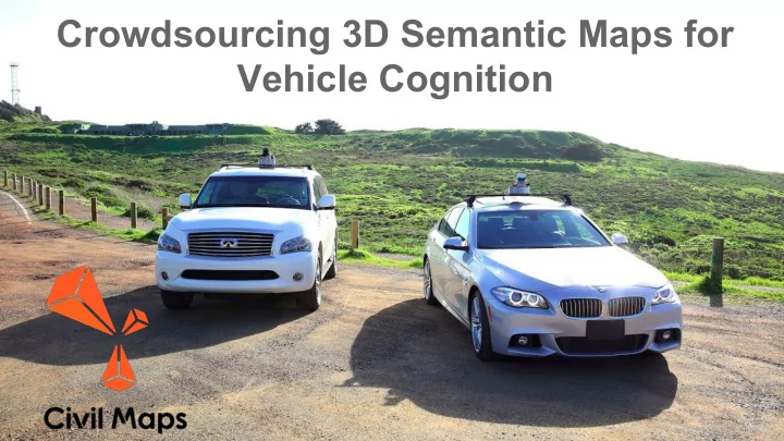
SLIDE 1
Crowdsourcing 3D Semantic Maps for Vehicle Cognition
SLIDE 2 Cognition Eyes Civil Maps Cloud Civil Maps In Car
Bounding boxes
Decisions
Cognition for Cars
SLIDE 3
Vehicle Cognition
SLIDE 4
Vehicle Cognition through 3D Maps
SLIDE 5
Vehicle Cognition through 3D Maps
SLIDE 6
Vehicle Cognition through 3D Maps
SLIDE 7
Vehicle Cognition through 3D Maps
SLIDE 8
Vehicle Cognition through 3D Maps
SLIDE 9
Vehicle Cognition through 3D Maps
SLIDE 10
Vehicle Cognition through 3D Maps
SLIDE 11
Vehicle Cognition through 3D Maps
SLIDE 12
Vehicle Cognition through 3D Maps
SLIDE 13
3D Semantic Maps
SLIDE 14
3D Semantic Maps
SLIDE 15 3D Semantic Maps to Cognition
Maps on Earth Maps Projected into a Field of View Maps Projected onto a Camera View (requires precise localizaiton)
SLIDE 16
6D Localization
SLIDE 17
Sensor data -> 3D Maps & Localization
Sensors Point Cloud 3D Semantic Map Localization Map
SLIDE 18 Problem: GPS is not reliable or accurate
- Actual vehicle GPS traces collected in downtown San Francisco
SLIDE 19
SLIDE 20 Localization Methods: ICP VS Signatures
SLOW: ICP FAST: Signatures
- Point to point comparisons
- 2 million points per second
- Lots of CPU / GPU usage
- Signature to Signature comparisons
- 1000 Signature per second
- ARM Cortex is enough
SLIDE 21
Synthetics : AI Training Process
Synthetic Sensor Data AI Models 3D Semantic Maps Real Sensor Data Procedural 3D modeling Real World Driving Training 90% Validation 10%
SLIDE 22
Crowdsourced 3D Semantic Maps
SLIDE 23 Crowdsourced Maps: Client/Server
... ...
Local Map Cache Map Auditing Aggregation (Completeness) Averaging, Outlier rejection
Job Dispatching Semantic Derivation
SLIDE 24
Crowdsourced Maps: Supply & Demand
Map Contributions Map Usage Civil Maps
Map Aggregation
SLIDE 25
Civil Maps Github: videos & code ○ https://civilmaps.github.io/cm-hal/ Session Three: (Sensor Fusion Part 1): Thursday, May 25th 1:30 PM PDT (4:30 PM EST) Session Four: (Sensor Fusion Part 2): Thursday, June 29th 1:30 PM PDT (4:30 PM EST) Getting Started With Sensor Data
Free Webinar Series by Civil Maps (4 Sessions)
SLIDE 26
Towards Mixed Reality Programmable Roads
SLIDE 27
Engineering Blog on Medium: https://medium.com/@CivilMaps Stay in Touch:
SLIDE 28 Cognition for Cars
Contact
Fabien Chraim, VP Research and Development fabien@civilmaps.com Scott Harvey, Sr. Machine Vision Engineer scott@civilmaps.com