
SLIDE 1
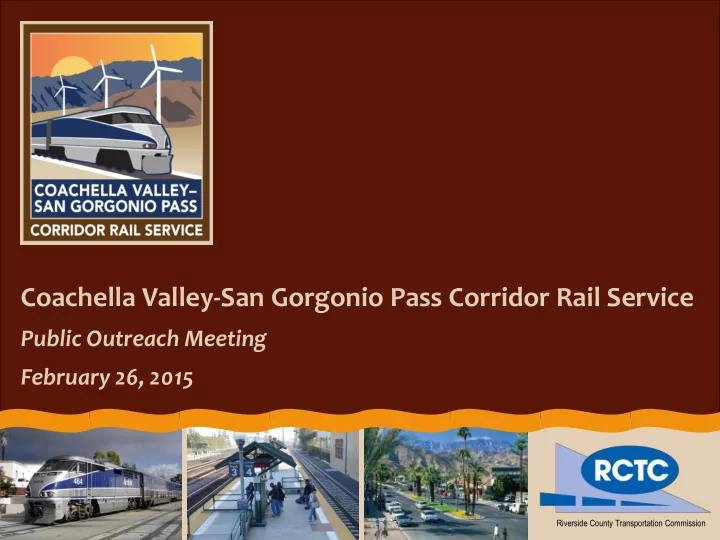
Coachella Valley-San Gorgonio Pass Corridor Rail Service
Public Outreach Meeting February 26, 2015
Riverside County Transportation Commission
Coachella Valley-San Gorgonio Pass Corridor Rail Service Public - - PowerPoint PPT Presentation
Coachella Valley-San Gorgonio Pass Corridor Rail Service Public Outreach Meeting February 26, 2015 Riverside County Transportation Commission Why Were Having This Meeting Provide information about this study Learn about your travel
Riverside County Transportation Commission
130,000 130,000 dail daily trips trips
Sources: SCAG 2012 RTP/SCS; Caltrans Performance Measurement System (PeMS); AirSage April/May 2014
Amtrak Sunset Limited (Rail) 3 trains per week; late night service Amtrak Thruway/Pacific Surfliner 2 round-trips per day; only for Amtrak passengers SunLine Commuter Link Bus 220 2 trips to Riverside in AM; 2 trips from Riverside in PM Beaumont Commuter Link Bus 120 7 daily round trips, Mon-Fri
Weekday Friday Saturday Origin Destination AM Peak PM Peak AM Peak PM Peak Midday Los Angeles Indio 114 min 139 min 112 min 165 min 119 min Indio Los Angeles 141 min 114 min 130 min 119 min 116 min
Western Terminus Eastern Terminus Travel Time Sunset Limited Los Angeles Palm Springs 156 min Amtrak Thruway/Pacific Surfliner Los Angeles Indio 240 min SunLine 220 / Metrolink Los Angeles Palm Desert 234 min Beaumont 120 / Metrolink Los Angeles Beaumont 145 min Greyhound Los Angeles Indio 240 min United Airlines Los Angeles (LAX) Palm Springs 56 min
Source: Caltrans Performance Measurement System (PeMS) * Scheduled travel time only; does not include time at airport, train station, or bus station. Sources: Amtrak, Metrolink, SunLine Transit, City of Beaumont, Greyhound, United Airlines
Source: AirSage April/May 2014 0% 5% 10% 15% 20% 25% 30% 35% 40% 45% 50% Typical Weekday Typical Friday Typical Saturday Peak Friday (Coachella Festival)
Los Angeles County Orange County San Bernardino County Western Riverside County
Source: SCAG 2012 RTP/SCS