
SLIDE 1
City of London Rehabilitation of Highbury Avenue South and the - - PowerPoint PPT Presentation
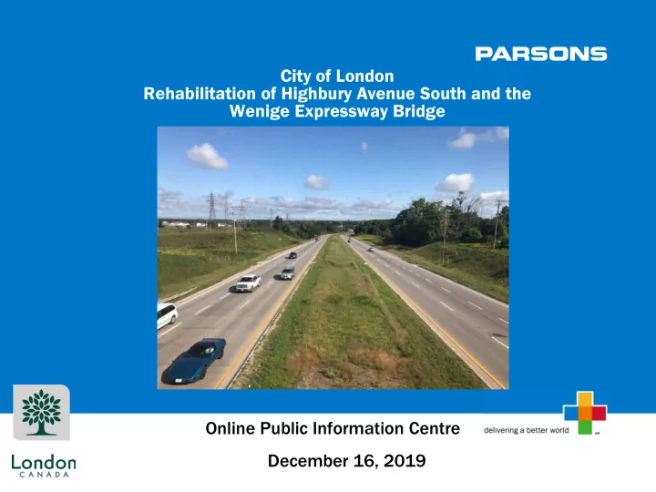
City of London Rehabilitation of Highbury Avenue South and the Wenige Expressway Bridge Online Public Information Centre December 16, 2019 Purpose The purpose of this Public Information Centre is to: Advise you of the proposed
2
3
4
5
6
7
8
9
10
11
12
13
14
15
16
17
18 *THR: Threatened, SC: Special Concern, END: Endangered, CH: Critical Habitat
COMMON NAME SCIENTIFIC NAME PROVINCIAL STATUS FEDERAL STATUS
Mussels Rayed Bean
Villosa fabalis
END END Kidneyshell
Ptychobranchus fasciolaris
END END Rainbow
Villosa iris
SC END Wavy-rayed Lampmussel
Lampsilis fasciola
THR SC Round Pigtoe
Pleurobema sintoxia
END END (CH) Fish Silver Shiner
Notropis photogenis
THR THR Pugnose Minnow
Opsopoeodus emiliae
THR THR Northern Brook Lamprey
Ichthyomyzon fossor
SC SC Reptiles
Northern Map Turtle Graptemys geographica SC SC Snapping Turtle Chelydra serpentina SC SC Blanding’s Turtle Emydoidea blandingii THR THR Spiny Softshell Apalone spinifera END END
Birds
Eastern Wood-pewee Contopus virens SC SC Bank Swallow Riparia riparia THR THR Barn Swallow Hirundo rustica THR THR
Plants
Green Dragon Arisaema dracontium SC SC Butternut Juglans cinerea END END
19
Trevor Hitchon 519-661-CITY (2489) ext. 5925 THitchon@london.ca Sonia Ahluwalia 519-340-7401 Sonia.Ahluwalia@parsons.com