
SLIDE 1
1
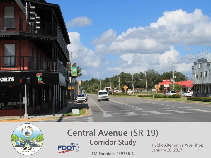
Central Avenue (SR 19)
Corridor Study
FM Number: 439756-1 Public Alternative Workshop January 30, 2017
Central Avenue (SR 19) Corridor Study Public Alternative Workshop - - PowerPoint PPT Presentation
Central Avenue (SR 19) Corridor Study Public Alternative Workshop January 30, 2017 1 FM Number: 439756-1 Authority This public meeting is being held in accordance with Chapter 120, Florida Statutes. This project is being developed in
1
FM Number: 439756-1 Public Alternative Workshop January 30, 2017
2
3
4
5
6
7
8
9
10
11
12
5,000 10,000 15,000 20,000 1990 2000 2010 2020 2030 2040
SR 19
W Ocala St. to Bulldog Way
AADT Regression 0.50% Growth
5,000 10,000 15,000 20,000 1990 2000 2010 2020 2030 2040
SR 19
CR 450-A to W Ocala St.
AADT Regression 0.50% Growth
13
55.5% 64.7% 68.0% 65.5% 57.4% 62.1% 65.0% 62.8%
53.0% 55.0% 57.0% 59.0% 61.0% 63.0% 65.0% 67.0% 69.0% 71.0% 2002 2003 2004 2005 2006 2007 2008 2009 2010 2011 2012 2013 2014 2015 2016 2017 2018 2019 2020 2021
14
– Sidewalks: “It would be wonderful to complete the sidewalks for the missing sections” – Bike Lanes:
– can possibly reduce width of medians to make room for paths” – One way pair: “Not a fan of one way pair”, “No One-ways!!!” – Roundabout at Bulldog Ln/W Ocala St:
15
16
17
18
19
20
21
22
23
24
25
26
27
28
29
30
31
32
33
34
35
36