
SLIDE 1
1
Case Study – Imaging below Basalt using Magnetic Data
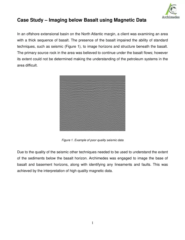
In an offshore extensional basin on the North Atlantic margin, a client was examining an area with a thick sequence of basalt. The presence of the basalt impaired the ability of standard techniques, such as seismic (Figure 1), to image horizons and structure beneath the basalt. The primary source rock in the area was believed to continue under the basalt flows; however its extent could not be determined making the understanding of the petroleum systems in the area difficult.
Figure 1. Example of poor quality seismic data
Due to the quality of the seismic other techniques needed to be used to understand the extent
- f the sediments below the basalt horizon. Archimedes was engaged to image the base of