
SLIDE 1
2018 Carson River Watershed Forum
April 11, 2018 Carson City NV
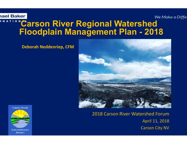
Carson River Regional Watershed Floodplain Management Plan - 2018
Deborah Neddenriep, CFM
Carson River Regional Watershed Floodplain Management Plan - 2018 - - PowerPoint PPT Presentation
Carson River Regional Watershed Floodplain Management Plan - 2018 Deborah Neddenriep, CFM 2018 Carson River Watershed Forum April 11, 2018 Carson City NV Mottsville Lane, 1994 Genie Azad Photo: Wolf Productions, used by permission Photo:
April 11, 2018 Carson City NV
Deborah Neddenriep, CFM
Mottsville Lane, 1994 Genie Azad
Photo: Laura Crain Photo: Wolf Productions, used by permission
April 11, 2018 Carson City NV
Geoff Brownell and Karin Peternel
Photo: Brenda Hunt
Photo: Debbie Neddenriep
recognized, prioritized, addressed
jurisdictions and residents is effective through outreach and education.
Photo: Wolf Creek, Alpine County Courtesy Alpine County
Photo: Courtney Walker
flooding
(sometimes)
Photo: Bafford Lane Bridge, Fallon Ernie Schank
Photo: Sunridge Golf Course Debbie Neddenriep
channel is known as the floodplain; the area that is naturally subject to flooding
component of the floodplain
and beneficial functions
encourages native vegetation to flourish is highly suitable for floodplains
in terms of the likelihood of being flooded in a given year
Riverine flooding Debris flows Alluvial fan flooding
Photo: Brenda Hunt Photo: Courtney Walker Photo: Wolf Creek, Alpine County Courtesy Alpine County
500 1000 1500 2000 2500 3000 3500 Jan Feb Mar Apr May Jun Jul Aug Sept Oct
Average monthly flow (cfs)
Carson River near Carson City (USGS 10311000)
1940 to 2016 2017
Premium Reduction
Credit Points Class SFHA Non-SFHA County 4,500 and above 1 45% 10% 4,000 – 4,999 2 40% 10% 3,500 – 3,999 3 35% 10% 3,000 – 3,499 4 30% 10% 2,500 – 2,999 5 25% 10% 2,000 – 2,499 6 20% 10% Douglas 1,500 – 1,999 7 15% 5% 1,000 – 1,499 8 10% 5% Carson City 500 - 999 9 5% 5% 0 - 499 10 Lyon, Churchill
Photo: Tim Bardsley
Protection Floodplain Natural Functions and Values Living River Approach Good Neighbor Policy Floodplain function and flood hazards Ecosystem Services, LID, Protect riparian habitat Higher Regulatory Standards Enhanced Ordinances Cumulative impacts of floodplain development Flood data information and maintenance Up‐to‐ date/consistent data collection Risk MAP Unsteady‐state model Floodway delineation Photo monitoring Channel Migration and Bank Erosion Monitoring Rapid Evaluation
System Identify areas of concern Floodplain and Flood Hazard Outreach and Education Living River Approach Good Neighbor Policy Floodplain function and flood hazards Reduction of Infrastructure Impacts Raised roadways Grade control Infrastructure maintenance Infrastructure upgrades
Photo: Laura Crain
Significant actions over last 10 years
community activities
protect floodplain function
Lyon County all have revised FIRM maps; delineated floodways, alluvial fan mapping (in portions)
Photo: Flood Model, River Wranglers
Photo: Lahontan Reservoir Spillway, Ernie Schank Photo: Emergency Weir, Ernie Schank
Photo: Emergency Spillway Release, Pete Olson
Photo: Debbie Neddenriep