California Coastal Geoportal Coastal Viewer Foundational Tool for - - PowerPoint PPT Presentation

california coastal geoportal coastal viewer foundational
SMART_READER_LITE
LIVE PREVIEW

California Coastal Geoportal Coastal Viewer Foundational Tool for - - PowerPoint PPT Presentation

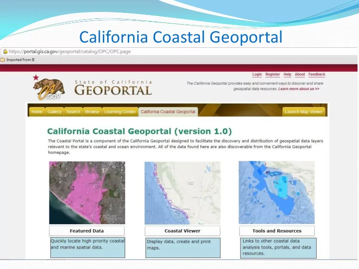
California Coastal Geoportal Coastal Viewer Foundational Tool for Ocean Planning VISUALIZE maps and aerial photos of the states marine and coastal habitats ANALYZE how marine regulations, activities and coastal resources may interact,


slide-1
SLIDE 1

California Coastal Geoportal

slide-2
SLIDE 2

Coastal Viewer

slide-3
SLIDE 3

Foundational Tool for Ocean Planning

 VISUALIZE maps and aerial photos of the state’s

marine and coastal habitats

 ANALYZE how marine regulations, activities and

coastal resources may interact, compete or conflict.

 DISCOVER marine and coastal features like kelp

distribution, where marine protected areas are located, and areas vulnerable to sea level rise.

 SHARE and PRINT maps and data resources.

slide-4
SLIDE 4

Next Steps

 EXPAND DATA CATALOG to include products from

large datasets, such as the California Seafloor Mapping Program

 EXPAND USER AUDIENCE to include additional

stakeholders, such as non-profits and academia

 ADD TOOLS AND RESOURCES that can inform

  • cean planning initiatives, such as other related data

holdings and decision support tools

 SPUR CREATIVITY by encouraging the development

  • f third party developments