
SLIDE 1
5/15/2017 1
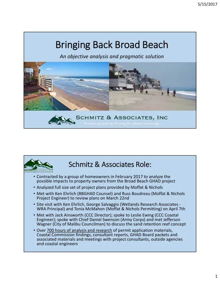
Bri ringing Back Broad Beach
An objective analysis and pragmatic solution
Schmitz & Ass ssociates Role:
- Contracted by a group of homeowners in February 2017 to analyze the
possible impacts to property owners from the Broad Beach GHAD project
- Analyzed full size set of project plans provided by Moffat & Nichols
- Met with Ken Ehrlich (BBGHAD Counsel) and Russ Boudreau (Moffat & Nichols
Project Engineer) to review plans on March 22nd
- Site visit with Ken Ehrlich, George Salvaggio (Wetlands Research Associates -
WRA Principal) and Tonia McMahon (Moffat & Nichols Permitting) on April 7th
- Met with Jack Ainsworth (CCC Director); spoke to Leslie Ewing (CCC Coastal
Engineer); spoke with Chief Daniel Swenson (Army Corps) and met Jefferson Wagner (City of Malibu Councilman) to discuss the sand retention reef concept
- Over 700 hours of analysis and research of permit application materials,
Coastal Commission findings, consultant reports, GHAD Board packets and associated materials and meetings with project consultants, outside agencies and coastal engineers