
SLIDE 1
Microwaves and Radar Institute / Pol - InSAR Research Group
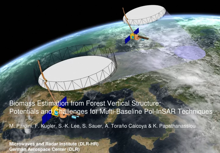
Biomass Estimation from Forest Vertical Structure: Potentials and Challenges for Multi-Baseline Pol-InSAR Techniques
- M. Pardini, F. Kugler, S.-K. Lee, S. Sauer, A. Toraño Caicoya & K. Papathanassiou
Microwaves and Radar Institute (DLR-HR) German Aerospace Center (DLR)