
SLIDE 1
1
BIM+GIS Integration methods for an Infrastructure Project in - - PowerPoint PPT Presentation
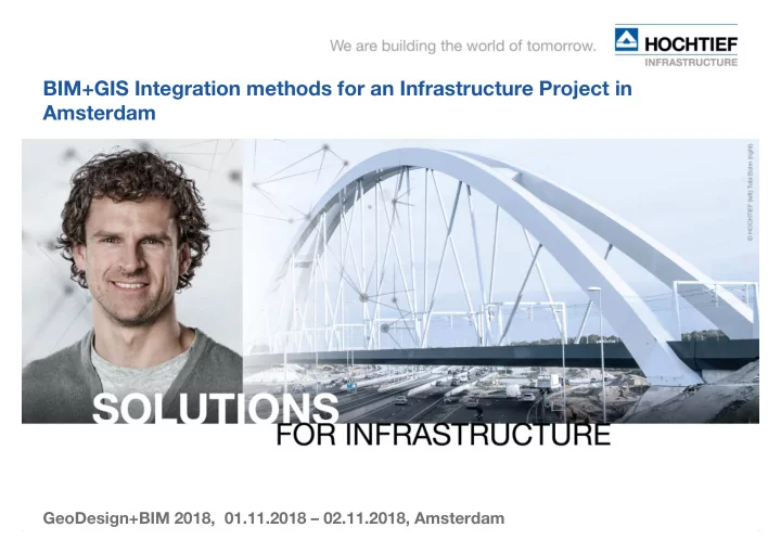
BIM+GIS Integration methods for an Infrastructure Project in Amsterdam GeoDesign+BIM 2018, 01.11.2018 02.11.2018, Amsterdam 1 BIM+GIS Integration methods for an Infrastructure Project Client: ZUIDPLUS - Project realisation: HEIJMANS,
1
2
3
Recognizing and identifying at the present time, the dependencies that will occur in the future within the project lifecycle. Solution > Integrate standardized - according to official rules - Information of various disciplines (TEAM) into an entire model (WORK) A better understanding of the relationships within the entire project. (technical – temporal > Construction Method > Costs) Public acceptance – the model features are linked to the production documents The model is the result of numerous recursive processes (TEAM) (WORK) depending on the level of detail, which have to be done (++) in order to create the precise information model. In the construction phase, assumptions are confirmed or a redesign and rescheduling has to be established. The changes will be incorporated into the model. > The reason for the model change will be captured. > Relevant documents will be linked to the object and stored into a DMS.
4
Tender Information Design Information Time Schedule BIM+GIS Storage
CORRIDOR DESIGN STRUCTURE DESIGN
CONSTRUCTION
METHOD
OGC - GIS IFC - BIM
CONSTRUCTION 3D Features ++ TIME SCHEDULE 4D DB ESTIMATION
5
6
7
Etc... Estimation
Time Schedule
Single source of truth repository
Tender Information Design Information Time Schedule BIM/GIS Database Transfer to Client As Built / Documentation Realisation Constructionphase BIM/GIS Database
BIM/GIS Projekt Database
8
(Important is the protocol which software was used to generate the result)
9
10
11
12
CAD_XREFs 3D Models Lists Rules BIS DB Spatial DB Online Plattform Services Navis Works
Clash detection
Surveys Monitoring Sensors
13
14
CAD_XREFs 3D Models
(14 Days)
Visualisations, Collisions, Space + Time Reports Review:
Revision unnecessary. Elementes consistent (Consensus)
Quantities Procurement
15
CAD_XREFs 3D Models Lists Rules ++
Online Services based on „Use Case“
Specific geometric Conditions
16
17 Requirement
Design Component Verification/ test Risk Interface
18
19
3D Solids
20
21
22
Personnel – Educate to handle both technologies -> BIM+GIS Knowledge of BIM+GIS for infrastructure projects (particulars) General Expertise in infrastructure – Design, Work preparation and Realization Collective Work (TEAM) into an integrated platform
Generate better Understanding in Project Departments for BIM / GIS Recognition of Advantages by using the new technology BIM
Realization of project specific Workflows Usage of external expertise
23
24
„Das Ganze ist mehr als die Summe seiner Bestandteile“ „The whole is more than the sum of its constituents“ „Het geheel is meer dan de som van zijn bestanddelen“