
SLIDE 1
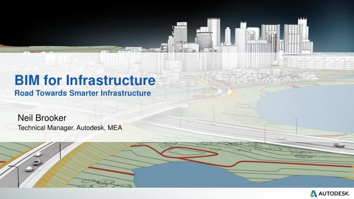
BIM for Infrastructure
Road Towards Smarter Infrastructure
Neil Brooker
Technical Manager, Autodesk, MEA
BIM for Infrastructure Road Towards Smarter Infrastructure Neil - - PowerPoint PPT Presentation
BIM for Infrastructure Road Towards Smarter Infrastructure Neil Brooker Technical Manager, Autodesk, MEA Spot the difference Do more with a Model What Can You Do With 2D Design? Try to Interpret the Design In 2D, the CAD user has to work
Road Towards Smarter Infrastructure
Neil Brooker
Technical Manager, Autodesk, MEA
Try to Interpret the Design
In this example the vertical section claims that attenuators are round and 3.5m Diameter, yet the horizontal section states they are square and 3.5m x 3.5m. Which one is correct?
In 2D, the CAD user has to work everything out. Others have to hope it’s correct
Manual take-off from drawings is prone to error & approximation Approximate the cost
analyse a proposal.
disconnected from the design; it’s not the same. Guess how it will perform
understands what the drawing means.
need 3D to see how it will work for real Hope to Build it Correctly
Are drawings and documents really the best format to manage a project? Provide the operator with a problem when built
Do we see things the same in our traditional practices?
BIM for Infrastructure is about creating and using a 3D, intelligent model for planning, designing, building and managing infrastructure.
Better understand and communicate project risk, intent, and options before project is built
Clarity
Maintain consistent data, context and processes across lifecycle
Continuity
Respond quickly to project changes – smarter and faster processes
Agility
Public
Clearly communicate intent and demonstrate you have an unmatched understanding of the project
Clarity | Winning Work
Visualizations Multidiscipline Model Clash Detection/Coordination Geospatial Data Field Survey Reality Capture Civil Structural Documentation Automated Machine Guidance 4D Sequencing and Scheduling Estimation
Continuity | Consistent Model
Road Data Parcel data from
Data aggregation: Better Spatial Analysis
Flood Plain Zoning data Aerial photos
One Model for…
and more…..
Big Data | Unlimited scale
City of Edmonton
Deliver the correct design by phase Concept Design: Visualise and engage stakeholders
Deliver the correct design by phase Developed Design: Analysis of proposals
Drawing Board 2D CAD Dynamic 3D Modeling Next Gen BIM
CLARITY
ability to visualize and experience projects before they are built in order to better communicate design ideas.
CONTINUITY
continuously enhanced and used throughout the project
AGILITY
make design changes at any point in the project lifecycle without significant impacts to project