ArcGIS Collector App for Stormwater Phase II Inspections November - - PowerPoint PPT Presentation
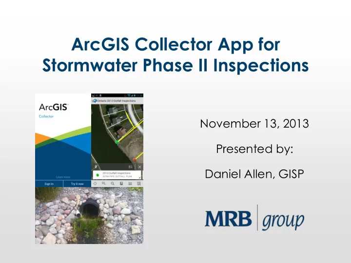
ArcGIS Collector App for Stormwater Phase II Inspections November 13, 2013 Presented by: Daniel Allen, GISP Introduction Town of Ontario (Wayne County, NY) Required to perform stormwater phase II inspections of all storm outfalls and
November 13, 2013 NY GeoCon
Introduction
- Town of Ontario (Wayne County, NY)
– Required to perform stormwater phase II inspections
- f all storm outfalls and detention ponds
November 13, 2013 NY GeoCon
Problem
- Large stack of paper
inspections from 2012
– No easy way to map results or query the information collected – No easy way to associate pictures taken with existing GIS points
- Lack of an easy mobile
map for the inspector to find all features to be inspected in 2013
November 13, 2013 NY GeoCon
Opportunity
- Ontario-Wayne Stormwater Coalition gave
notice that the Town would have an intern for a week to complete the 2013 stormwater inspections
- The decision was made to pilot test the ArcGIS
app for live inspection collection with pictures taken on a mobile phone
- We only had about 2 days to test the
procedure and work out any bugs
November 13, 2013 NY GeoCon
Ingredients / Known Variables
- ArcGIS Online organizational subscription
- Android and/or Apple Smartphones to be used
- ArcGIS app and the ArcGIS Collector app to pick from
- Existing geodatabase feature classes for pipe and
pond outfalls
- Existing EPA paper inspection form
- ArcGIS apps do not support offline editing yet
– Must have cellular data connection to save inspections
- Known dead spots in cell coverage along Lake Ontario
November 13, 2013 NY GeoCon
Ingredients / Known Variables
November 13, 2013 NY GeoCon
Ingredients / Known Variables
- Intern had no experience with GIS
- Everything stock ESRI – no budget or time for
customization
- Oh… and did I mention that we only had 2
days to work out any bugs?
November 13, 2013 NY GeoCon
Design Process
- ArcGIS Online does not yet support related
tables
– Inspection data must be collected as a “duplicate” GIS point
- Made copy of existing feature class points for
storm sewer and pond outfalls
- Renamed “2013 Inspections-”
- Added appropriate fields as attributes to mimic
EPA paper inspection form
- Added subtypes for consistent data entry
November 13, 2013 NY GeoCon
Design Process
November 13, 2013 NY GeoCon
To The Cloud….
- Published feature classes to ArcGIS online map
feature services
- Enabled attachments for inspection
photographs
- Created ArcGIS.com web map with the
published feature services
– Added zoom scales and customized pop-up’s – Configured point features to change color once inspection was complete
November 13, 2013 NY GeoCon
To The Cloud….
November 13, 2013 NY GeoCon
Testing
- The beauty of ArcGIS Online maps
– One map, many viewing platforms – No configuration changes needed
- Opened ArcGIS Online map in Android and
Apple versions of ArcGIS mobile app
- Created and edited “test” inspections with
photo attachments
- Everything appeared to work as planned (in
the office that is)
November 13, 2013 NY GeoCon
Testing
November 13, 2013 NY GeoCon
Learning Curve
- Training session with Stormwater Coalition
intern
– Installed ArcGIS app on his phone (Motorola Razr – Android)
- Lack of substantial GIS experience was not an
issue
- ArcGIS apps have a quick learning curve
November 13, 2013 NY GeoCon
Initial Technical Problems
- Photo attachments and sometimes certain
inspection fields were not saving
– We were following in real-time back at the office using an ArcGIS Online map – We were able to spot this problem right away
November 13, 2013 NY GeoCon
Initial Technical Problems
November 13, 2013 NY GeoCon
Quick Fix
- Had intern download ArcGIS Collector app
- Seemed to resolve the problems we were
having with the original ArcGIS app not saving certain fields
- Source of problems unknown
– Possibly related to conflict with specific Android mobile device hardware being used or network connectivity issues
- Easy transition to new app because of similar
design
November 13, 2013 NY GeoCon
Inspection Progress
- Inspections went fairly smoothly after that
- There were a few points where there was no
cell service by Lake Ontario shoreline
– These were recorded on the paper form and entered to the ArcGIS Online map back at the
- ffice
November 13, 2013 NY GeoCon
Mobile App
November 13, 2013 NY GeoCon
Inspection Progress
November 13, 2013 NY GeoCon
Inspections Complete
- Now what?
- Bring data back from the “Cloud” to original
local network file geodatabase
- Generate custom paper reports using ArcGIS
Desktop
- So this should be easy right?
November 13, 2013 NY GeoCon
Disappearing Photo Attachments
- When I synchronized the inspection data back
to the local network, the photo attachments disappeared from the inspection points
November 13, 2013 NY GeoCon
Disappearing Photo Attachments
November 13, 2013 NY GeoCon
Disappearing Photo Attachments
Long story short –
– According to ESRI Tech Support, it appeared this was a bug with ArcGIS 10.1 related to the inspection feature classes having subtypes
- This was the only part of the process I did not
have time to fully test before implementation
- So we had to manually re-attach every photo
to its inspection point using ArcGIS desktop
– By “we” I mean we had the intern do it
November 13, 2013 NY GeoCon
Final Report
- Used ArcGIS Desktop report wizard to create a
report template that could be reused every year to make a paper record of all inspections
- Worked great – except the large number of
photos created an “out of memory” exception from ArcGIS Desktop during printing
- Exported smaller groups to get around error
November 13, 2013 NY GeoCon
Final Report
November 13, 2013 NY GeoCon
Conclusions
- We were able to accomplish our goals with no custom
programming
- The end result was a happy client, a quality report, and
an interactive map with picture attachments
- The bugs in the process were not a deal breaker
– Do not let them discourage you from adopting this technology
- This workflow shows great promise and will be
extremely valuable to the mobile municipal workforce as it becomes more refined
- Offline data editing available with the next release of
the ArcGIS Collector app early next year (per ESRI)
- ArcGIS Online account and 100 credits now come with
each desktop license on ESRI maintenance agreement at 10.2, so give it a try!
November 13, 2013 NY GeoCon