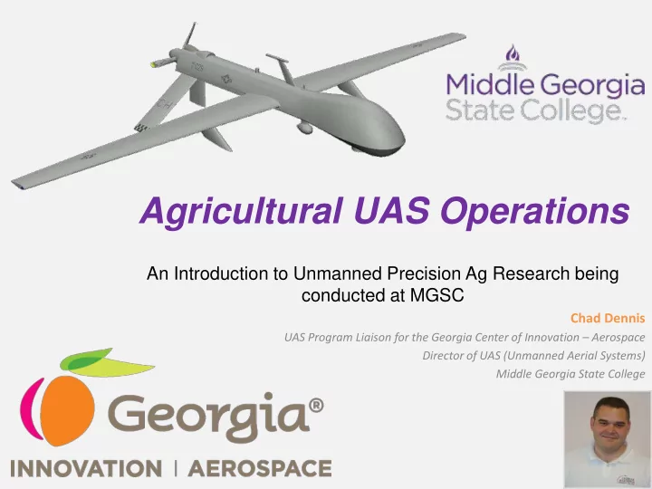

Agricultural UAS Operations An Introduction to Unmanned Precision Ag Research being conducted at MGSC Chad Dennis UAS Program Liaison for the Georgia Center of Innovation – Aerospace Director of UAS (Unmanned Aerial Systems) Middle Georgia State College
What is a UAS?
Case Study 1 Cordele Peanut Plant BACKGROUND: A peanut plant in Cordele, Georgia was on fire and officials were having problems pinpointing the source of the fire due to the fact that the roof of the silo that was on fire had collapsed and the firemen on the ground could not see inside. OUTCOME: ENTER THE DRONE: The drone operation saved A volunteer firefighter used the millions of dollars worth of camera on his UAV to locate the peanuts stored in adjacent silos source of the fire inside the silo, by allowing firefighters to quickly enabling a police helicopter to drop access the location of the fire. water bags precisely on the source of the fire.
Case Study 2 Soil & Conservation BACKGROUND: Agencies involved in conservation efforts like surveying and mapping ecologically sensitive areas such as swamps and wetlands, expend a lot of time and manpower in this endeavors. Satellite and other high- tech solutions can prove too costly. OUTCOME: ENTER THE DRONE: Significant time and money is “Conservation drones” costing less saved in mapping and surveying than $4,000 can take GIS ecologically sensitive areas. synchronized high-resolution photographs with <2cm pixel NOTE – this is part of a TED Global 2013 initiative. resolution.
UAV Crop Imaging Project Team Georgia Center of Innovation (COI) -Agribusiness -Aerospace Middle Georgia State College (MGSC) University of Georgia-Tifton Campus Guided Systems Technologies (GST) Sunbelt Agricultural Exposition Georgia Peanut Commission Georgia Cotton Commission Objectives: To determine if near-infrared images captured by a UAV have the potential to be used by crop consultants and Image: 08/02/2013 farmers to analyze crops more efficiently Peanuts 675’ Sunbelt (Moultrie)
UAV Crop Imaging Scope: Flights conducted over UGA peanut & cotton research crops during the 2013 growing seasons. Conducted 34 total flights over 10 total flight days spanning from 06/18/2013 to 09/20/2013. General Findings: • Exact yield calculations can only be investigated once a year. Several more trials needed to predict yield from NDVI. • Scattered cloud cover affected Guided Systems Technologies (GST) the exsposure forcing some delays. SiCX-10 • Methods for large data management will also need to be addressed CoA 2013-ESA-36 • Easily able to discern areas where plants were stressed
Proposed Project 2015 Snapshot: Ag Eagle RAPID with a Near Infrared (NIR) Camera to monitor multiple fields of scale in Evans & Bulloch County during the upcoming growing session to calculate the return on investments Project Team: Agriview Systems Middle Georgia State College Agriview Systems UGA County Extension Service Ag Eagle RAPID UGA Small Business Development Center UGA Tifton Campus Summer of 2015 (Proposed) COI – Agribusiness COI – Aerospace Georgia Dept of Economic Development
Current state regulations
Who uses Unmanned Aerial Systems? Hobbyist Businesses Public Agencies
Key Issues with Regulations • The FAA is constitutionally empowered to ensure the safety of the NAS • States are currently more 31% concerned about privacy issues • It is not always clear where the FAA leaves off and the state regulations begin
Current state regulations
General information about UAS • If you are just getting started and need more information: – COI-A – Georgia UAS Working Group – AUVSI – FSDO
Georgia UAS Working Group The Georgia Unmanned Aerial Systems ( UAS) Working Group is a state-wide committee dedicated to growing existing Georgia UAS companies and attracting more UAS industry employers to the state. Georgia with its strong aerospace industry is a natural place for UAS companies to seek educational, manufacturing and research partnerships Members of the UAS Working Group include local UAS companies, academic experts, and aerospace/aviation industry organizations in addition to state and federal government agencies. For more information, please contact Chad Dennis at chad.dennis@mga.edu
Selecting the Right UAS An Introduction to UAS for Public Agencies Chad Dennis UAS Program Liaison for the Georgia Center of Innovation – Aerospace Director of UAS (Unmanned Aerial Systems) Middle Georgia State College Thank You!
Recommend
More recommend