
SLIDE 1
Wide Improvement Framework Level of Protection from Flooding Goals - - PowerPoint PPT Presentation
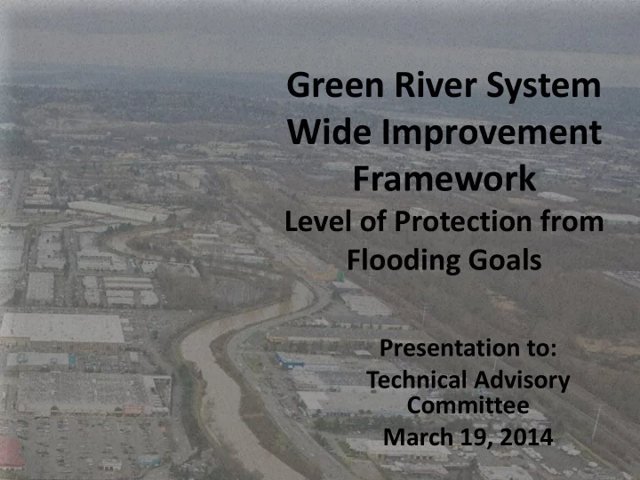
Green River System Wide Improvement Framework Level of Protection from Flooding Goals Presentation to: Technical Advisory Committee March 19, 2014 PRESENTATION OUTCOMES Improved understanding regarding Level of Protection from flooding
1936
2
Desimone Levee, 2009 Galli Levee, 2013
3
Lower Green River Valley, 1959
4
Kent Shops Narita, 2009
5
16 miles of levees, enrolled in PL84-99 12 miles of non-PL84- 99 levees/ revetments 14 miles of shoreline with no facilities
6
7
8
9
10
Task Date
guide flood risk assessment January 2014
March 5, 2014 Introduce LOP goal setting to SWIF Technical Advisory Committee March 19, 2014 Current Conditions Symposium for TAC and AC, including flood risk assessment results April 16, 2014 Technical Advisory Committee recommends maximum LOP and preferred LOP goals (map) to AC May 2014 Advisory Council recommends maximum LOP and preferred LOP goals (map) to FCD Early June 2014 FCD Executive Committee establishes LOP goals (map) Late June 2014 Prepare SWIF alternatives analysis to reflect LOP goals Summer/Fall 2014 Generate prioritized CIPs needed to achieve LOP goals Late Fall 2014
11
12
13
Discharge (cubic feet per second) Location
10-year (10% annual chance) 50-year (2% annual chance) 100-year (1% annual chance) 500-year (0.2% annual chance) USGS Auburn Gage (2005 Flood Insurance Study)
12,000 12,000 12,000 12,000 Reach 3 (near Auburn gage) (2010 pDFIRM) 11,230 12,420 12,810 13,460 Reddington Levee Setback (Tetra Tech et al., 2011) 11,200 12,300 12,500 14,900 USGS gage (USACE 2012, Assembly of Design Flood Hydrographs) - Median 12,000 12,000 12,000 18,800 Lower Confidence Limit (95%) 11,900 12,000 12,000 12,000 Upper Confidence Limit (5%) 12,000 12,000 15,100 26,800
14
What is the probability of exceeding a design flow over different timeframes? Green SWIF will be tackling this challenging question….. 30 Years 50 Years 75 Years 100 Years 1:100 (aka ‘the 100-year flood) 26% 39% 53% 63% 1:140 (current USACE estimate
19% 30% 42% 51% 1:200 14% 22% 31% 39% 1:300 10% 15% 22% 28% 1:500 6% 10% 14% 18%
15