who is involved
play

Who is involved? Griffith University and University of Western - PowerPoint PPT Presentation

1 of 3 NAILSMA lead case studies Timeframe 2012 - 2014 Who is involved? Griffith University and University of Western Australia: scientific research Nyul Nyul Rangers: on country field work, local knowledge of habitats NAILSMA:


  1. • 1 of 3 NAILSMA lead case studies • Timeframe – 2012 - 2014 • Who is involved? Griffith University and University of Western Australia: scientific research Nyul Nyul Rangers: on country field work, local knowledge of habitats NAILSMA: project coordination, I-Tracker Tools The Nyul Nyul community

  2. NAILSMA is an Indigenous-led not-for-profit company with a decade of experience delivering large-scale initiatives across north Australia.

  3. Programs • Culturally appropriate programs focusing on • Saltwater People Network Indigenous knowledge and • Youth Leadership contemporary science. • Carbon Abatement • Supporting Traditional Owners to contribute to • Water Resource Management healthy country and healthy • Indigenous Knowledge people on traditional lands. • Livelihoods • I-Tracker

  4. • Supporting community-based management • Community-friendly data collection and mapping tools • Scientific research on important national issues • Development of new methods that can be used across north Australia

  5. Data Analysis / Reporting Application customised and installed on PDA
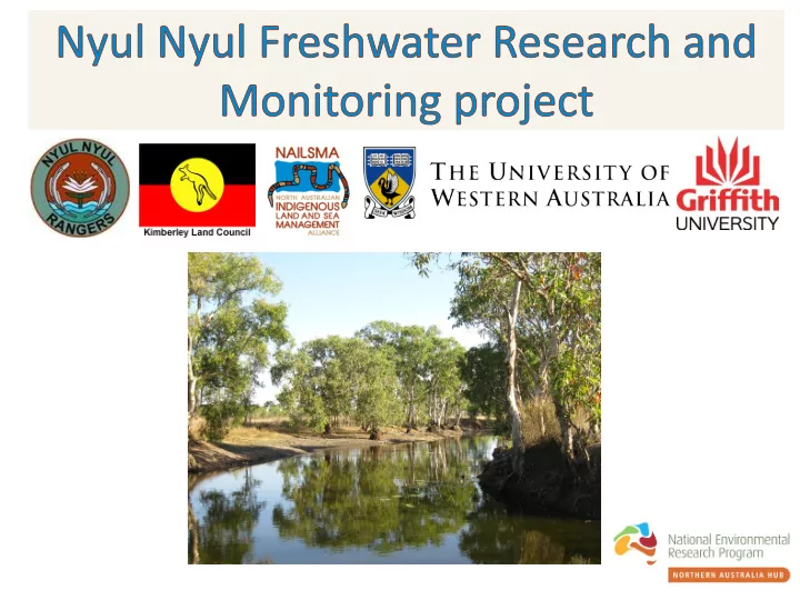
 Ran ange ger c comput uter NAILSMA I-Tracker Rangers collect data using Applications are the PDA while on patrol. custom built using CyberTracker software.

  6. Technical support Training, workshops Network of Indigenous ranger groups via email, phone and skills development across northern Australia and site visits

  7. Tropical Rivers and Coastal Knowledge (TRaCK) Program Waterways Education Program (WEP) (UWA and DoW)

  8. • Collect a suite of baseline data, including an historical dataset from remote sensing • Identify key threatening processes • Build local capacity for research and monitoring through training and data collection tools: i. Develop practical monitoring techniques which include scientific and culturally significant indicators of FW health (including a rapid assessment technique based on TRARC methodology) ii. Create a customised I-Tracker tool to collect, manage and report on this monitoring data iii. Develop a plan for ongoing management and monitoring by the Rangers

  9. August 2012 June 2013 October 2013

  10. Water quality Biodiversity Sampling ⁻ Freshwater fish communities ⁻ Aquatic macroinvertebrates Stable isotope analysis ⁻ Food webs ⁻ Water source Riparian condition (incl. feral animal impacts) Aquatic vegetation

  11. • Use satellite imagery of waterholes to explore community knowledge of how the Nyul Nyul freshwater systems work and identify threats • 25yr satellite record and a 2 years of field sampling but the Nyul Nyul community has a longer historical knowledge, to build a greater understanding of freshwater places

  12. • Satellites circle the earth and capture imagery • Landsat imagery is available from 1989 to 2014 (25 yrs) so we can use it to look back into the past Landsat image of 25 year Historic Dampier Peninsular record

  13. Landsat 30m • capture every 16 days • good for waterholes Landsat MODIS 250m • image capture every day • good for floods MODIS

  14. 2000 2002 Large water body collects rainwater runoff, very little influence of GW • • Except for the wettest years (e.g. 2000) Lake Louisa dries up by the end of the dry • Low connectivity • Low fish diversity- Gambusia, Ox-Eye Herring (observed but not common) • Site for hunting cattle, not used for fishing • Main impacts; cattle and fire

  15. 2000 2002 • In the last 15+ yrs has held water all year round except for the driest years, but it didn’t exist in the 60’s, how/why did it form? • Low coverage of aquatic vegetation High diversity of macroinvertebrates • • No fish collected during sampling • Maintains a relatively low turbidity all year

  16. Driven by groundwater • • High impact from donkeys and fire • Invasive Mosquito fish ( Gambusia holbrooki ) • High connectivity for short periods some wet seasons Photo: Mark Abel

  17. • Suite of baseline data and Indigenous Ecological Knowledge increasing our understanding of these systems • Identification of threats and cultural values to assist in monitoring • Refining monitoring techniques for Rangers and developing customised I-Tracker tool • Procedure for rangers to acquire and use Landsat imagery Improved capacity for Rangers and community to manage • freshwater habitats • Share knowledge and tools with other Indigenous Ranger groups in the region for their use in future

  18. • The KLC supported Nyul Nyul Rangers • Beagle Bay community members • Workshop participation • Field sampling

Download Presentation
Download Policy: The content available on the website is offered to you 'AS IS' for your personal information and use only. It cannot be commercialized, licensed, or distributed on other websites without prior consent from the author. To download a presentation, simply click this link. If you encounter any difficulties during the download process, it's possible that the publisher has removed the file from their server.

Recommend


More recommend