SLIDE 1
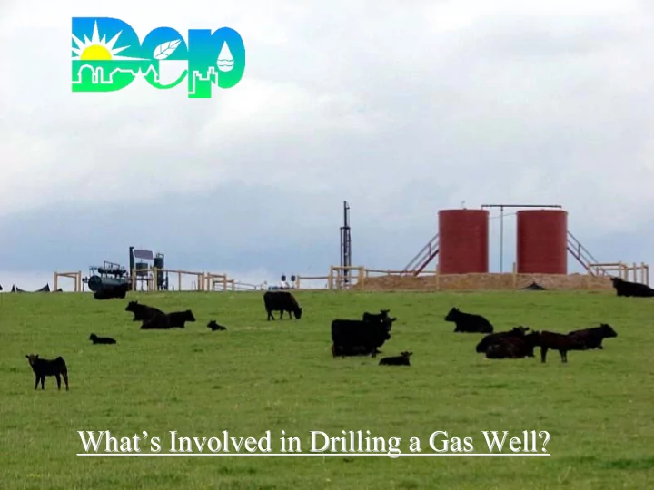
What What’ ’s Involved in Drilling a Gas Well? s Involved in Drilling a Gas Well?
SLIDE 2
About the Bureau
SLIDE 3
About the Bureau
Northwest Region
230 Chestnut St. Meadville, PA 16335 814 – 332 – 6860
Southwest Region
400 Waterfront Dr. Pittsburgh, PA 15222 412 – 442 – 4024
Central Office
Bureau of Oil and Gas Management PO Box 8765 Harrisburg, PA 17105 717 – 772 - 2199
SLIDE 4 Program Authority
- Oil and Gas Act
- 25 Pa Code Chapter 78 – Oil and Gas Wells
- Oil and Gas Conservation Law
- 25 Pa Code Chapter 79 – Oil and Gas Conservation
- Coal and Gas Coordination Act
SLIDE 5 Program Authority
Dam Safety and Encroachment Act
- 25 Pa Code 105 – Dams and Waterways
Management
- 25 Pa Code 106 – Flood Management
Solid Waste Management Act
SLIDE 6 Program Authority
Clean Streams Law
- 25 Pa Code 102 – Erosion and Sediment Control
- 25 Pa Code 91 – General Provisions
- 25 Pa Code 92 – NPDES Permitting, Monitoring
and Compliance
- 25 Pa Code 93 – Water Quality Standards
- 25 Pa Code 95 – Waste Water Treatment
Requirements
- 25 Pa Code 96 – Water Quality Standards
Implementation
SLIDE 7 Pennsylvania Oil & Gas Patch?
Titusville
Pennsylvania currently produces 3.76 million barrels of oil and 163 BCF
SLIDE 8
In 2007, 7,241 permits were issued. .
SLIDE 9 Oil & Gas Well Permits Issued, 1990 - 2007
500 1000 1500 2000 2500 3000 3500 4000 4500 5000 5500 6000 6500 7000 7500 8000 1990 1991 1992 1993 1994 1995 1996 1997 1998 1999 2000 2001 2002 2003 2004 2005 2006 2007
DOW DOWDD DOWR
SLIDE 10 Wells Permitted 2007/2006 7,241 /7,302
64/99 587/662 11/8 100/36 57/54 60/66
283/322
301/369 40/14 356/348 200/105 60/36 349/528
332/379
418/298 0/2 514/596
335/377
0/3 1151/945 151/271 109/120 1/2 202/129 457/637 447/219 628/639 0/1 2/7
Map Courtesy of Digital-Topo-Maps.com
14/1 0/16 17/3 3/0 2/0
SLIDE 11 Wells Permitted 2008 January - May
Map Courtesy of Digital-Topo-Maps.com
51 235 4 15 33 22 16 168 91 26 171 119 21 127 72 207 254 207 47 501 43 74 34 12 118 212 211 285 2
SLIDE 12 To drill a gas well in Pennsylvania the operator needs…
- a drilling permit
- an E & S plan
Permits, Etc.
SLIDE 13 Additional permits and/or approvals may be needed
- PennDOT highway occupancy
permit
- SRBC or DRBC Permit
- Chapter 105 encroachment permit
- Stormwater Management permit
for projects affecting more than 5 acres
SLIDE 14 Drilling Permit Applications include
- Application Fee
- Bond
- Any waiver or variance requests
- PNDI check
- Well plat
- Political subdivision and county
- Location of the well
- Name of the surface owner and lessor
- Name of all surface owners or water purveyors
whose water supplies are within 1000 ft.
- Name of owner or operator of all underlying
workable coal seams
- Record of Notification
- Marcellus Addendum
SLIDE 15 The operator shall forward by certified mail a copy of the plat to:
- the surface owner
- all surface owners with water supplies
and water purveyors within 1000 ft
- all coal owners and lessee of any underlying
workable coal seams
- all coal operators identified on the well plat.
- Gas Storage operators within 2000 ft.
- proof of the notification shall be sent to the Department
The operator must give 24 hr notice of the date the drilling
- the department
- the landowner
- political subdivision
SLIDE 16 Locating A Well Site
- Geology – drill where the gas is
SLIDE 17
Survey the Site
SLIDE 18 Distance Restrictions:
- 100 ft. - stream, spring or body of water
identified on the most current 7 ½ minute USGS topographic map.
- 100 ft. must be maintained to any wetland
greater than one acre in size.
- 200 ft from an existing building or water
well without written consent of the owner.
- The department may grant a waiver to the
distance restriction.
SLIDE 19
History
Sept 29, 1972 – 25 PA Code Chapter 102 adopted. Oil & Gas Operators were required to prepare Erosion and Sediment Control plans. 1981 – Department’s First Erosion and Sediment Control Manual for oil & gas well operations (Now incorporated in the Oil and Gas Operators Manual.)
Let’s Make a Plan, Stan.
SLIDE 20
Erosion and Sediment Control Plan Erosion and Sediment Control Plan
SLIDE 21
Erosion & Sediment Controls (BMPs)_
SLIDE 22
SLIDE 23
Stream Crossings
SLIDE 24
Minimize the Disturbance
SLIDE 25
Build the Site Drill the well Stabilize as you go
SLIDE 26
Drilling the Well
SLIDE 27 Gas/Oil Formations Fresh Ground Water Conductor
SLIDE 28 Fresh Ground Water Gas/Oil Formations Conductor Well Bore
SLIDE 29 Fresh Ground Water Gas/Oil Formations Fresh Water Casing
SLIDE 30 Fresh Ground Water Gas/Oil Formations Cement
SLIDE 31
Cement Returns from the annular space
SLIDE 32 Gas/Oil Formations Fresh Ground Water Borehole to Formations
SLIDE 33 Fresh Ground Water Gas/Oil Formations Baffle
SLIDE 34 Fresh Ground Water Gas/Oil Formations
SLIDE 35
Fracing the Well
SLIDE 36 What is Fracing? Hydraulic fracturing is the process in which fluid is pumped down a well and into a formation under pressure high enough to cause the formation to crack,
- r fracture, forming passages through
which gas can flow into the well bore. Upon completion of the frac this fluid is pumped from the formation into a lined sump and trucked to a permitted treatment facility.
SLIDE 37 Fresh Ground Water Gas/Oil Formations
SLIDE 38 Fresh Ground Water Gas/Oil Formations
SLIDE 39 Fresh Ground Water Gas/Oil Formations
SLIDE 40
220’ bore length 8’ below the streambed
Pipeline Stream Crossings
SLIDE 41
The End Result
SLIDE 42 Bioretention / Infiltration Area
Stormwater Management
SLIDE 43
You might see this…
SLIDE 44
Common Questions
SLIDE 45
Protection of Water Supplies
SLIDE 46 “presumption of responsibility” An operator is responsible for any degradation of a water supply within 1000 ft
- f the gas well that occurs within six months
- f the completion of drilling, unless the
- perator can prove otherwise.
Whenever a gas/oil well related water loss or degradation occurs it should be reported to the Bureau of Oil & Gas Mgmt. regional
- ffice for further investigation.
SLIDE 47
What happens to the fluids used during drilling and production?
All fluids encountered during the drilling and fracing of a gas well are collected in lined sumps.
SLIDE 48
Top Hole Water.
SLIDE 49
All other drilling, fracing and production fluid is hauled to a permitted treatment facility
SLIDE 50
- NPDES permit
- Specific discharge limits.
- Satisfies state as well as USEPA requirements.
SLIDE 51
Be Smart Out There
SLIDE 52
If you see something unusual… Let Someone Know!
SLIDE 53 “Well mam, first, I ask’n politely to put in the BMPs, and if that don’t work…well, that’s what this here shootin’ iron’s fer.”
Great,Great Great Grand Pappy Umholtz
SLIDE 54
Joe Umholtz Chief Division of Surface Activities Bureau of Oil & Gas Management 717-772-2199