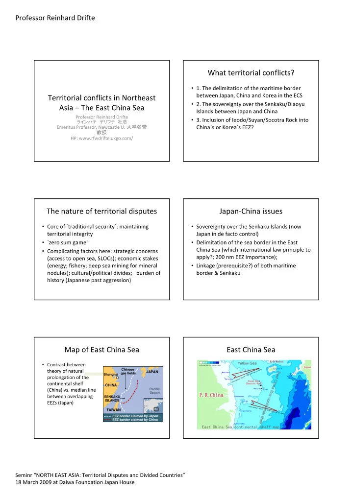
SLIDE 2 Professor Reinhard Drifte
Seminr “NORTH EAST ASIA: Territorial Disputes and Divided Countries” 18 March 2009 at Daiwa Foundation Japan House
Japan‐China: Main points
- China`s late claim to Senkaku in 1970 (1895‐1970 gap!)
- 1980s: China`s begin of exploration + exploitation in the ECS
- 1996 both sign UN CLOS
- Japan`s misleading signals: `shelving` of Senkaku issue 1972, 1979; Japan`s
abstention from even exploration until 2004; 1997‐2001 JBIC/ADB co‐ financing of China`s Pinghu field (70 km off median line)
- 2001 Prior Notification Agreement; 1997 Fisheries Agreement (`joint
fishing areas`)
- From 1998 ‘Consultations on the Law of the Sea and the Delimitation of
the EEZ’
- From 2004 to 2008 ‘Japan‐China Consultations concerning the East China
Sea and Other Matters’
Japan‐China: Where are we now?
- 18 June 2008 agreement on cooperation in the ECS as a commitment to negotiate
a Treaty (agreement on principles):
- ‐ joint development in a clearly defined area as a first step (Northern part of ECS) +
commitment to consult about other areas outside of the above area for joint development
- ‐ participation of Japanese legal persons in the development of the Chunxiao oil
and gas field in accordance with Chinese laws
- ‐ the agreement indicates implicit Chinese acknowledgment of the median line
because the defined zone for joint development approximately straddles this line and differentiates between Chunxiao and the joint development zone
- Concern about military clashes (increased presence of Chinese warships/fighters;
2004 harassment of Japanese exploration)
- Dec 08: J reports continued Chinese exploration in the Tianwaitian gas field (50–60
km from the median line, started in September 2005!)
- Not even begin of negotiations despite Japanese reminders!
Tianwaitian oil platform
Start of extracting gas?
protests about China`s continuing extraction
Japan‐China‐ROK issues
- Link to Japanese occupation before 1945 (Dokto/Takeshima
1910; Senkaku/Diaoyu Jan 1895 just before end of Sino‐ Japanese war)
- No ECS maritime border agreed between J‐ROK, ROK‐China
- Overlap of J‐ROK‐China EEZ claims at Northern end of ECS
- 1974 Japan‐South Korea treaty (1978 J ratification; Chinese
protests, 1980‐86 J‐ROK fruitless explorations)
- Japan accepted SK`s extended continental shelf approach!
- 1997 Japan‐China Fisheries Agreement: Korea claims overlap
- f EEZs; demands trilateral negotiations
China‐ Korea: Ieodo/Suyan Rock
- 82 nm southwest of Jejudo; 147 nm miles northeast of China
- In 1900 discovered by the British merchant ship `Socotra`,
1951 claimed by Korea
- surface area of 370,000 sq m. at the depth of 50 meters,
highest point on the rock is 4.6 meters below sea level
- Korean weather station
- China: rock is within China`s 200 nm EEZ!
- 2000: China and ROK agree that it is a submerged rock, NOT
an island, therefore no sovereignty issue, only EEZ issue
Iedo/Suyan Rock