What is ArcGIS Explorer A free GIS viewer by ESRI View a wide range - - PDF document

what is arcgis explorer
SMART_READER_LITE
LIVE PREVIEW

What is ArcGIS Explorer A free GIS viewer by ESRI View a wide range - - PDF document

ArcGIS Explorer An Overview Presented By Josh Stearns GIS Coordinator Northern Engineering & Consulting, Inc What is ArcGIS Explorer A free GIS viewer by ESRI View a wide range of data Create and share maps Perform


slide-1
SLIDE 1

ArcGIS Explorer

An Overview

Presented By Josh Stearns GIS Coordinator Northern Engineering & Consulting, Inc

What is ArcGIS Explorer

  • A free GIS viewer by ESRI

– View a wide range of data – Create and share maps – Perform Analysis

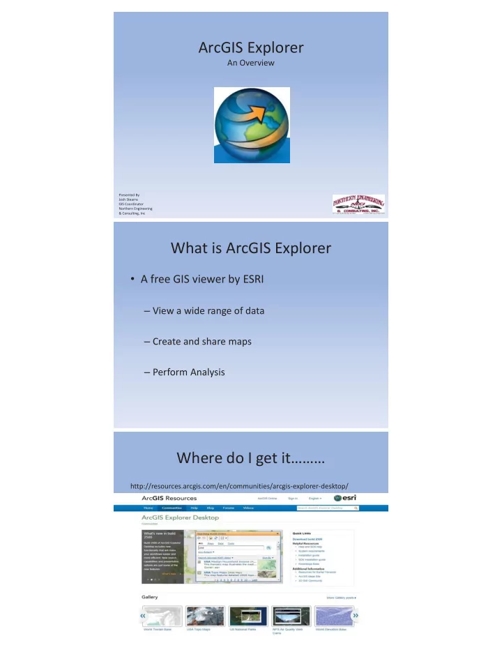
Where do I get it………

http://resources.arcgis.com/en/communities/arcgis-explorer-desktop/

slide-2
SLIDE 2

Some Resources and Help

Download Other Downloads and Download Help

slide-3
SLIDE 3

Let’s Get to it…..

Default View

The Ribbon

slide-4
SLIDE 4

ArcGIS Explorer Menu

Windows

Map Content

slide-5
SLIDE 5

Working With The Map

  • Find Tools
  • Create Tools
  • Map
  • Presentation

More

  • Display Tools
  • Sharing Maps and Data
  • Options
  • Customization

Questions?

slide-6
SLIDE 6

Free Data

  • USGS National Map: http://viewer.nationalmap.gov/example/services/serviceList.html

– Topo Base Maps – Shaded Relief – Wetlands – Elevation Contours

  • MN DNR Data Deli: http://deli.dnr.state.mn.us/

– To Much to List

  • MN DOT: http://www.dot.state.mn.us/surveying/geodetics/index.html

http://www.dot.state.mn.us/maps/gdma/gis-data.html

– Geodetic Info – Transportation – State Forests & Parks

  • MnGeo: http://www.mngeo.state.mn.us/chouse/wms/geo_image_server.html

– Imagery – Topo Qaud Sheet http://geoint.lmic.state.mn.us/cgi-bin/wmsz?