
SLIDE 1
DRIVER VISIBILITY ASSESMENT ON URBAN CROSSING ENVIRONMENTS BASED ON POINT CLOUDS
- L. Díaz-Vilariño, C. Silva, P. Arias
31th ICTCT Conference On the track of future urban mobility: safety, human factors and technology Porto, October 26th, 2018
DRIVER VISIBILITY ASSESMENT ON URBAN CROSSING ENVIRONMENTS BASED ON POINT CLOUDSINDEX
- 1. INTRODUCTION
- 2. OBJECTIVE
- 3. METHODOLOGY
3.1. Visibility analysis 3.2. 2D Isovist Field 3.3. 3D Isovist Field
- 4. EXPERIMENTS & RESULTS
- 5. CONCLUSIONS
INDEX
- 1. INTRODUCTION
- 2. OBJECTIVE
- 3. METHODOLOGY
3.1. Visibility analysis 3.2. 2D Isovist Field 3.3. 3D Isovist Field
- 4. EXPERIMENTS & RESULTS
- 5. CONCLUSIONS
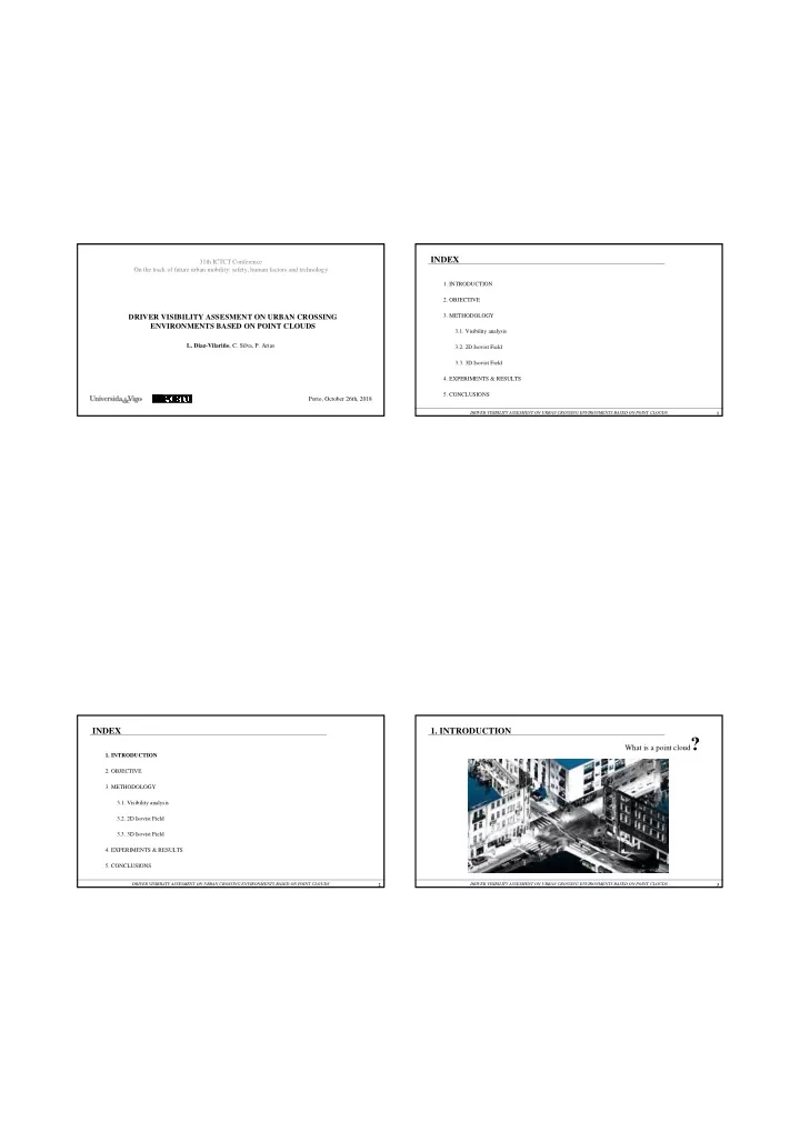
What is a point cloud?
- 1. INTRODUCTION