
SLIDE 1
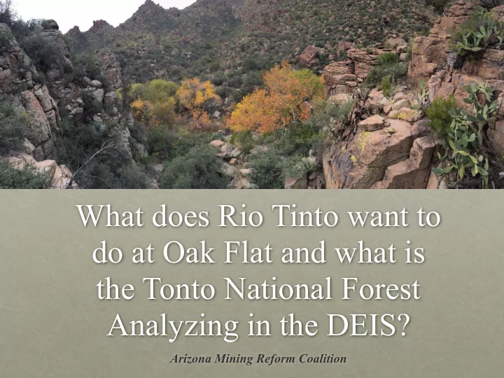
What does Rio Tinto want to do at Oak Flat and what is the Tonto National Forest Analyzing in the DEIS?
Arizona Mining Reform Coalition
What does Rio Tinto want to do at Oak Flat and what is the Tonto - - PowerPoint PPT Presentation
What does Rio Tinto want to do at Oak Flat and what is the Tonto National Forest Analyzing in the DEIS? Arizona Mining Reform Coalition Location 9/9/19 Arizona Mining Reform Coalition www.AZminingreform.org The Sacred Site of Oak
Arizona Mining Reform Coalition
9/9/19 Arizona Mining Reform Coalition www.AZminingreform.org 2
is an hour east of Phoenix, Arizona, and ½ hour west
Reservation.
rare and sensitive desert riparian ecosystem.
rock climbing locations in North America and heavily used for recreation.
9/9/19 Arizona Mining Reform Coalition www.AZminingreform.org 3
The Resolution Copper Draft Environmental Impact Statement (DEIS) contemplates development
mine at Oak Flat, to mine copper and molybdenum.
west of Superior outside the town boundary.
9/9/19 Arizona Mining Reform Coalition www.AZminingreform.org 4
Rio Tinto’s mining plan would:
electricity as between 219,000 and 1.6 million US households.
total electrical capacity
water per year (for 40 years).
Tempe (180,000 people).
severe water shortages leading to the reduction
water from the Colorado River.
would be the most severely impacted by the shortage.
9/9/19 Arizona Mining Reform Coalition www.AZminingreform.org
be a cubic mile in size and located approximately a mile underground.
down open pit.” All ore would be removed from 7,000 feet under the ground, resulting in a huge void in the earth.
multiple underground aquifers and require intense mine dewatering.
would collapse, siphoning surface water and groundwater supplies from the area.
9/9/19 Arizona Mining Reform Coalition www.AZminingreform.org
6
subsidence would destroy
half of the Oak Flat Campground.
subsidence crater 1,000 feet deep and 2.5 miles in diameter.
Tinto data, there is a 5.3% chance that Apache Leap would be reached by subsidence.
for the destruction of irreplaceable cultural heritage.
9/9/19 Arizona Mining Reform Coalition www.AZminingreform.org
7
waste would be placed in
dumpsites.
alternatives is weaker than current Canadian and Brazilian laws.
chosen, a dam collapse would reach Superior in 2.4 minutes, Dripping Springs in 16 minutes, Queen Valley in 18 minutes, and Florence in 51.5 minutes.
Near West #2 = 520’; Near West #3 = 510’; Silver King = 1,040’; Peg Leg = 310’; Skunk Camp = 490’.
9/9/19 Arizona Mining Reform Coalition www.AZminingreform.org
8
waste would be placed in the Dripping Springs (Gila) watershed.
this alternative is a mix
private land although access for tailings pipeline, power line corridor and road is across Federal public land.
this alternative would be 15,872 acres.
tailings would be 490’.
reach Dripping Springs in 16 minutes.
9/9/19 Arizona Mining Reform Coalition www.AZminingreform.org
9
toxic waste would be placed in the Queen Creek Watershed 4.5 miles upstream of the community of Queen Valley.
be placed directly on the ground - without a liner to control acid mine drainage.
would reach Queen Valley in 18 minutes.
uranium, and cobalt. Samples have elevated levels of aluminum, iron, manganese, chloride, fluoride, and sulfate when compared to US drinking water standards. Acid would begin to leach from the tailings within 90 days.
9/9/19 Arizona Mining Reform Coalition www.AZminingreform.org
10
waste would be placed in the Queen Creek Watershed.
placed directly on the ground - without a liner to control acid mine drainage.
alternative is 10,617 acres.
1,040’ for NPAG pile and 750’ for PAG tailings.
reach Superior in 2.4 minutes, and Queen Valley in 41 minutes.
9/9/19 Arizona Mining Reform Coalition www.AZminingreform.org
11
placed directly on the ground - without a liner to control acid mine drainage.
alternative would be 17,285 acres using the west tilings corridor and 16.938 acres using the East Tailings corridor.
310’ (NPAG) and 200’ (PAG).
reach Florence in 51.5 minutes.