WEST LINDSEY STREET WIDENING CONCEPTUAL PLAN PUBLIC FORUM March - - PowerPoint PPT Presentation
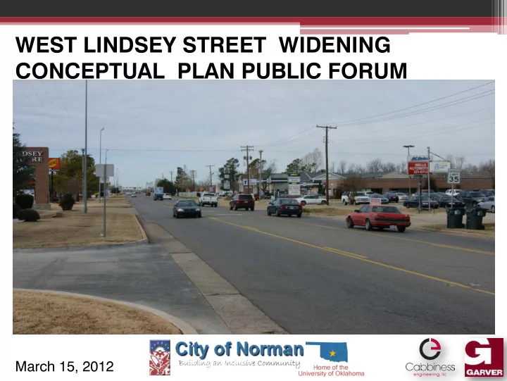
WEST LINDSEY STREET WIDENING CONCEPTUAL PLAN PUBLIC FORUM March 15, 2012 OPENING COMMENTS Welcoming comments. Reason for the need of a Public Forum. Introduction of City Staff, Elected Officials and the Design Team.
Lindsey Street Conceptual Plan
OPENING COMMENTS
Welcoming comments. Reason for the need of a Public Forum. Introduction of City Staff, Elected Officials and the Design Team. Acknowledgement of other master plans, studies and pending construction improvements that impact this project: Norman 2025 Land Use and Transportation Plan Norman Storm Water Master Plan Norman Bicycle Master Plan ODOT’s I-35 Corridor Improvements
DRAINAGE ISSUES
Lindsey Street Conceptual Plan
DRAINAGE ISSUES
Lindsey Street Conceptual Plan
DRAINAGE ISSUES
Lindsey Street Conceptual Plan
TRAFFIC CONSIDERATIONS
Lindsey Street Corridor Conceptual Plan
- West Lindsey Street carries
approximately 21,000 vehicles per day
- 90 Driveways within 1 Mile
- Crash frequency creates unreliability
- Unique peaking characteristics
- Long term volume projections show
increased demand for east/west connectivity into the University area (1 to 2% annually)
- Segment Level of Service
- No Build: LOS F (at/near capacity)
- Build: LOS C through 2035
Goal: To create a safe, vibrant east/west gateway that meets the transportation needs of all users (motorists, pedestrians, bikes, bus)
CRASH HISTORY
Lindsey Street Corridor Conceptual Plan
24 24th
th Street
eet McGe cGee Dr Drive Be Berry Ro Road
58 58% o
- f Re
Reporte rted d Cra rashes hes 42 42% o
- f Re
Reporte rted d Cra rashes hes
- Data from Norman PD
- 79 Accidents / 27 Injuries per
year
- W. Lindsey Crash Rate:
10.3 crashes per MVM
- Oklahoma Crash Rate:
1.8 crashes per MVM
- National Average (6-States):
3.6 crashes per MVM
5% 5% 16% 16% 25% 25% 48% 48% 2% 2% 4% 4%
Crash ash T Types
Angle at Signal Angle at Driveway Rear-End at Driveway Rear-End at Signal DUI Other
CRASH LOCATIONS (2009 to 2011)
Lindsey Street Corridor Conceptual Plan
Berry rry Ro Road Wylie ylie R Road ad Mc McGee ee A Ave 24 24th
th Av
Avenue
MATCH LI LINE NE MATCH LI LINE NE
2011 Crash Location 2010 Crash Location 2009 Crash Location LEG LEGEND
“PARTIAL ” OPTION - WEST
Lindsey Street Corridor Conceptual Plan
“PARTIAL ” OPTION - EAST
Lindsey Street Corridor Conceptual Plan
CONCEPTUAL ROADWAY SECTION
Lindsey Street Conceptual Plan
View Looking West Bound
CONCEPTUAL ROADWAY SECTION
Lindsey Street Conceptual Plan
CONCEPTUAL ROADWAY SECTION
Lindsey Street Conceptual Plan
View Looking West Bound
CONCEPTUAL ROADWAY SECTION
Lindsey Street Conceptual Plan
OPTIONAL ROADWAY SECTION
Lindsey Street Conceptual Plan
View Looking West Bound
CONCEPTUAL ROADWAY FOOTPRINT
Lindsey Street Conceptual Plan
CONCEPTUAL LOOK AT 24th AVENUE
Lindsey Street Conceptual Plan
CONCEPTUAL ROADWAY FOOTPRINT
Lindsey Street Conceptual Plan
CONCEPTUAL LOOK AT McGEE DRIVE
Lindsey Street Conceptual Plan
CONCEPTUAL LOOK AT McGEE DRIVE
Lindsey Street Conceptual Plan
CONCEPTUAL ROADWAY FOOTPRINT
Lindsey Street Conceptual Plan
CONCEPTUAL LOOK AT BERRY ROAD
Lindsey Street Conceptual Plan
CONCEPTUAL LOOK AT BERRY ROAD
Lindsey Street Conceptual Plan
CONCEPTUAL ROADWAY FOOTPRINT
Lindsey Street Conceptual Plan
AESTHETICS & AMENITIES
Lindsey Street Conceptual Plan
Develop a “Gateway to Norman and the University” Improvements must be functional and feasible:
- streetscape and landscape
features
- bus stop shelters
- decorative street lighting &
signal poles
- wayfinding signage
- stamped concrete or brick
paver type, left turn lane
- statues and art work
CONCEPTUAL DESIGN ANIMATION
Lindsey Street Conceptual Plan
CONSTRUCTION SEQUENCING Looking West Bound
Lindsey Street Conceptual Plan
New Sanitary Sewer Utility Duct Bank Trench Shoring New Storm Sewer Relocated Gas Line New Water Line
CONSTRUCTION SEQUENCING
Lindsey Street Conceptual Plan
- Safety paramount for traveling public and
construction workers
- Minimum of 1 travel lane in each direction
- Maintain access to businesses & property
- Maximize utility relocation coordination
with roadway construction
- Provide contractor incentives
ANTICIPATED PROJECT TIMELINE
Lindsey Street Conceptual Plan
Public Forum on March 15, 2012 Final presentation to City Council on March 28, 2012 City Council establish Bond Election language April 10, 2012 Possible Bond Election on June 26, 2012 Preparation of design plans in calendar year 2013-2014 Construction begins simultaneously with ODOT reconstruction of the I-35 & Lindsey Street interchange in 2015 & 2016
CLOSING COMMENTS, QUESTIONS & ANSWERS
Lindsey Street Conceptual Plan