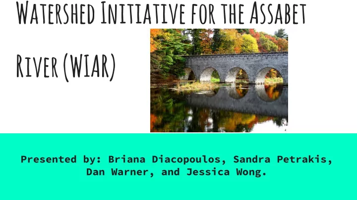

Watershed Initiative for the Assabet River (WIAR) Presented by: Briana Diacopoulos, Sandra Petrakis, Dan Warner, and Jessica Wong.
Mission statement To conserve water resources, to enhance water quality, and to improve ecological health and function within the Assabet Watershed by addressing current issues impacting three major tributaries (Hop Brook, Elizabeth Brook, and Nashoba Brook) and providing recommendations to implement by 2036.
Watershed Characteristics Watershed Area: 177 mi 2 River Length: 31 miles (dropping 320 feet) from the headwaters until it meets the Sudbury River to form the Concord River. Major Tributaries: Hop Brook, Elizabeth Brook, Nashoba Brook Geology: Glaciation during the Pleistocene epoch. Watershed Population: >170,000 Municipalities: 19 towns and one city; including 9 towns along the mainstem (Westborough, Northborough, Berlin, City of Marlborough, Hudson, Stow, Maynard, Acton, Concord).
history The name “Assabet” comes through the filter of time from the (spoken) Algonquin word for “the place where materials for making fish nets comes from.” “Wamesit” and “Pawtucket” were the two tribes inhabiting the area along the Assabet and lower Concord River before European settlers arrived. During the 1800’s, Nathaniel Hawthorne, Henry David Thoreau, Ralph Waldo Emerson, and Louisa May Alcott all lived on or near the Assabet and/or Concord Rivers and were often inspired by them in their writing.
landuse ● Mixed land use watershed ○ Mining, Agriculture, Urban Areas ● 11.5% Impervious surfaces ___________________________________________________________________________ ● “Threat Score” based on impervious area and land use categories ● Threat Score: 12.4
Dams ● Historical hydropower source and economic asset ● Many dams built in 1800s ● Aging dams build up nutrient-rich sediments and act as perpetual sources of pollution ● Removal costly with major short-term impacts
Other Pollution Challenges ● Municipal wastewater plants discharge high BOD, N, and P ● Fertilizer runoff from agriculture and residential land use ● Water table drawdown by excessive water usage ○ Increases nutrient concentrations, decreases velocity and oxygen levels ● Hypereutrophic impoundments as result
Polluted Major Tributaries Hop Brook: Municipal wastewater treatment discharges and urban runoff ● Consistent violations for low dissolved oxygen, high N and P Elizabeth Brook: Surface runoff and old dams ● Occasional violations for low dissolved oxygen, high P Nashoba Brook: Wastewater treatment plant discharge, runoff, excessive water usage, and old dams ● Excess nutrients, impacted dissolved oxygen, and low flow in summer months
WATER USAGE Surface Water ● Recreation: Canoeing, fishing, parks, and bike tours, etc. Groundwater ● Public-water supplies approximately 80% of the basin population ● 74% of water withdrawal is from GW for public, industrial, agricultural, and recreational use ● Nearly half of GW withdrawal is discharged to the Assabet River after treatment (3.6 Mgal/d) Wastewater ● Wastewater is returned to the groundwater-flow system through on-site septic systems (3.5 Mgal/d). ● Low flows contribute to eutrophication and failure to meet QW standards.
Problems and Solutions Issue Causes Strategies Excessive Nutrients 1. WWTP utilities 1. New technology to reduce P 2. Dams/Impoundments 2. Careful dam removal 3. Lawn and Agriculture 3. Public outreach and Fertilization education Sediment Pollution 1. Dams/Impoundments 1. Careful dam removal Water Table 1. Residential and 1. Public outreach and Drawdown Commercial Water education Overuse 2. Stricter regulations
Policy Challenges ● Several overlapping jurisdictions in the Assabet River Watershed ○ 2 MA DEP Regions ○ 2 MA Dept. Fish and Wildlife Regions ○ 2 Congressional Districts ○ 2 Counties ○ 19 Municipalities ● Where will the money come from?
Citations and credits http://www.oars3rivers.org/ http://suasco.org/ http://www.mass.gov/anf/research-and-tech/it-serv-and- support/application-serv/office-of-geographic-information- massgis/ http://www.mass.gov/eea/agencies/massdep/water/ http://www.nae.usace.army. mil/Missions/ProjectsTopics/AssabetRiverStudy.aspx
Recommend
More recommend