
SLIDE 1
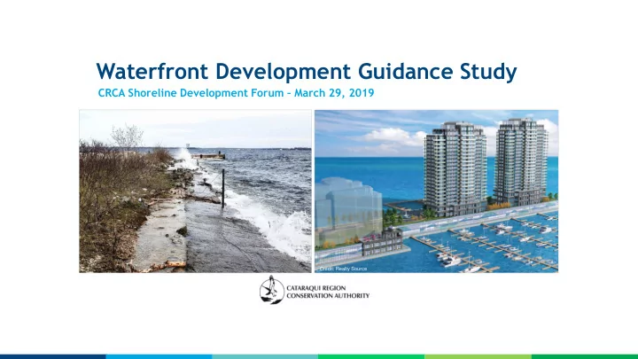
Waterfront Development Guidance Study
CRCA Shoreline Development Forum – March 29, 2019
Credit: Realty Source
Waterfront Development Guidance Study CRCA Shoreline Development - - PowerPoint PPT Presentation
Waterfront Development Guidance Study CRCA Shoreline Development Forum March 29, 2019 Credit: Realty Source Project Purpose Aim: To develop an Eastern Lake Ontario Upper St. Lawrence River Waterfront Development Guidance document. - It
Credit: Realty Source
2
3
4
Kingston, Ontario Gananoque, Ontario Brockville, Ontario
5
6
Natural Hazards
Dynamic Beaches Flooding Erosion
7
8
9
10
Credit: John Vines Credit: Google Earth
11
Credit: Morrison Hershfield / MTO Credit HGA Group
12
regulatory flood plain & erosion hazard limit
sites
additions, marine facilities)
residential development), protection works, public liability, off-site impacts, ecological impacts
13
14
15
16
Lower Thames CA, Lake Erie 2017
Credit: John Vines
minimizes cost, risk and social disruption
additional protection in area of least risk
works permitted to protect existing development
public (failure, repair, off-site impacts), climate change, community benefit (public access, recreation, aesthetics)
17
Credit: City of Kingston