
SLIDE 1
LARRY HARALA SENIOR PLANNER
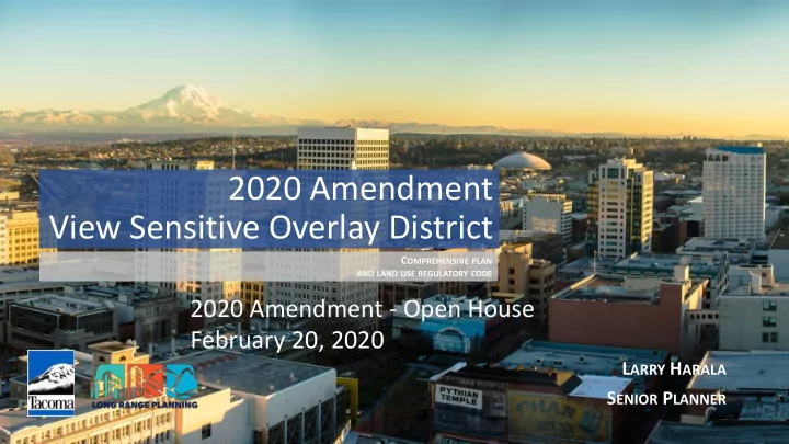
2020 Amendment View Sensitive Overlay District
COMPREHENSIVE PLAN
AND LAND USE REGULATORY CODE
View Sensitive Overlay District C OMPREHENSIVE PLAN AND LAND USE - - PowerPoint PPT Presentation
2020 Amendment View Sensitive Overlay District C OMPREHENSIVE PLAN AND LAND USE REGULATORY CODE 2020 Amendment - Open House February 20, 2020 L ARRY H ARALA S ENIOR P LANNER O PEN H OUSE A GENDA View Sensitive Overlay District (VSD)
COMPREHENSIVE PLAN
AND LAND USE REGULATORY CODE
2020 Amendment - Open House Larry Harala, Senior Planner 2
3
2020 Amendment - Open House 4
2020 Amendment - Open House 5
We are here 4-15-2020 Tentative May/June - Tentative
# Criteria Rationale Data Source 1 Block is within the existing VSD-25 overlay View sensitive areas have already been identified by the City since 1989 City of Tacoma zoning map, all zones with VSD in name 2 Block is within the rough initial study areas identified by staff Do not repeat recent analysis by staff City of Tacoma LIDAR data 3 At least approximately 75 percent of the block already has houses under 20 feet tall (a) Avoid creating excessive nonconforming situations, and (b) acknowledge that single-family homes
height regulation would have little to no effect on existing taller houses City of Tacoma LIDAR data, which was verified for accuracy by City permit data and architectural drawings, Google Earth LIDAR data, and field measurements. 4 Most of the block is on land sloping more than 5 percent and less than 15 percent This range is the most relevant given the distance from applicable views of waters, bluff, and the bridge; the size and spacing
and steeply sloping lots generally have good views regardless of adjacent house height and which is already protected by the VSD-25 limit. Slope map developed by MAKERS, derived from City of Tacoma GIS contour data. 5 The block has a significant or fair view of distant waterways, bluffs, forested hillsides, mountains, or the bridge. Additional building height restrictions are relevant only if a significant view is involved. Field visits and Google Earth Streetview. While the quality of views is always subjective, the local reference point for a “significant” view is those from the southern part of Narrowmoor. Note the Pierce County Assessor uses different terms, and Assessor data has not been utilized in this review.
7
Tacoma View Sensitive District 20-Feet Overlay (VSD-20) - Draft Criteria
NOTE: These criteria are supporting the preliminary recommended areas and they are in draft form and subject to change.
2020 Amendment – Open House 8
Name Original Study Area Lots (estimate) Recommended Lots as of 2/18/2020 (estimate) Recommended Area (acres) Narrowmoor 312 227 120 Skyline 1,001 405 243 Vassault 282 140 40 Five Views 179 36 22 Caledonia 256 109 29 Total 2,030 917 454
9
10
11
12
13
14
2020 Amendment - Open House Larry Harala, Senior Planner 15
Public Review Materials: www.cityoftacoma.org/2020Amendment Provide comments to:
Planning Commission 747 Market Street, Room 345 Tacoma, WA 98402
16