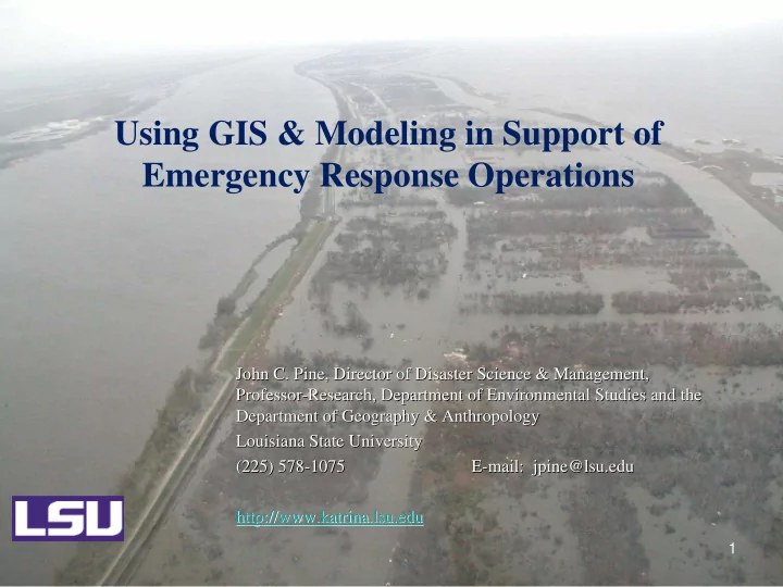

Using GIS & Modeling in Support of Emergency Response Operations John C. Pine, Director of Disaster Science & Management, John C. Pine, Director of Disaster Science & Management, Professor Professor- -Research, Department of Environmental Studies and the Research, Department of Environmental Studies and the Department of Geography & Anthropology Department of Geography & Anthropology Louisiana State University Louisiana State University (225) 578- -1075 1075 E- -mail: mail: jpine@lsu.edu jpine@lsu.edu (225) 578 E http:// http://www.katrina.lsu.edu www.katrina.lsu.edu 1
Time Expectancy of Spatial Data • Much of the data is needed within 24 hours of the disaster event – Real time (in place) monitoring is critical to data collection – Remote sensing imaging is needed immediately (Aster Satellite) 2
The Clearinghouse Concept Archiving Perishable Data … institutional memory … knowledge transfer Data Centralization Data Access … appropriate authorities
Remote Sensing Data • Digital Globe (Quickbird) • Image America • SPOT • IKONOS • Radarsat • MODIS • AVHRR • Landsat • LIDAR 4
10 M SPOT Satellite Image: 2 Sept 2005 With Water depth overlays London Ave Canal Breaks 17 th Street canal break Industrial Canal Overwash Flood elevation: +3ft NAVD 88 DeWitt Braud and Rob Cunningham
FEMA LiDAR Mosaic 5 M DEM’s Coastal Studies Institute DeWitt Braud and Rob Cunningham
Emergency Impact Data: Post Event • Flood inundation or nature and extent of the hazard event • Status of lifelines and other critical infrastructure (utilities, transportation networks, levees & dams) • Damage to buildings, critical property, environmental impacts • Weather conditions 8
Post Event Community Education: Understanding Hazard Impacts Google Earth: Geo-Spatial Resources and Data for non-GIS users CONTEXT…making the data meaningful for the stakeholders Quick Response Research Report 180 . Hurricane Katrina: GIS Response for a Major Metropolitan Area Andrew Curtis, Jacqueline W. Mills, Jason K. Blackburn and John C. Pine Louisiana State University Baton Rouge, Louisiana 2006 http://www.colorado.edu/hazards/research/qr/qr180/qr180.html
Recommend
More recommend