
SLIDE 1
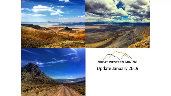
Update Jan January ry 2019 Dis isclaimer THESE PRESENTATION - - PowerPoint PPT Presentation
Update Jan January ry 2019 Dis isclaimer THESE PRESENTATION MATERIALS WHICH HAVE BEEN PREPARED BY GREAT WESTERN MINING CORPORATION PLC (THE COMPANY) ARE FOR INFORMATION PURPOSES ONLY AND HAVE NOT BEEN APPROVED BY THE LONDON STOCK
Black Mountains Group TUN Group JS Group RH Group EM Group
appropriately named Mineral County, Nevada
still large areas that are under explored
Great Western’s six distinct concession areas offer the potential for exploiting (1) long-term, world- class copper deposits and (2) short term gold and silver deposits
within the Walker Lane Trend – a complex zone of regional faulting within the larger east California shear zone
mineral deposits, such as the Comstock Lode (Silver) and Yerington and Pumpkin Hollow (Copper)
Black Mountains Group TUN Group JS Group RH Group EM Group
Black Mountains Group Huntoon Group TUN Group JS Group RH Group EM Group
Black Mountains Group Total Area 21.0 km2 Soil samples 139 Grab samples 231 Area Mapped 16.2 km2 RC Holes 40 Diamond Holes 2 Total drilling 22,511ft/ 6861.5m Huntoon Group Total Area 14.8 km2 Soil samples 232 Grab samples 18 RC Holes 1 Diamond Holes 2 TUN Group Total Area 14.1 km2 Grab samples 19 JS Group Total Area 21.6 km2 Soil samples 490 Grab samples 130 Area Mapped 8 km2 RC Holes 3 Diamond Holes 3 Total drilling 3763ft/ 1146.69m EM Group Total Area 5.5 km2 Grab samples 9 RH Group Total Area 6.2 km2 Grab samples 11
prepared in accordance with JORC guidelines
19kT of Cu metal (at a 0.20% Cu cut-off)
towards the SE, and also along strike both NE and SW.
areas for infill and extensional drilling, in order to increase the current resource base and increase confidence.
has been approved
2018, following earlier RC holes M2_025 and M2_026
diorite, beneath the Sharktooth peak, down dip from the current M2 oxide Cu Resource
current M2 Resource a further 500m along strike, and 500m down dip
100m
approximately 2.5km2, which could host a deposit in the range of 15MT to 200MT
from 486.5m, in hole M2_041, within a magnetite rich breccia, indicates hydrothermal activity in the vicinity of the diorite stock
encountered in both core holes, through the breccia zone, the diorite target has not yet been reached
sheeted quartz veins in host granite, prospective for narrow vein, high grade precious metals.
carried out in 2015 by Great Western yielded results of 5.6 g/t Au and 19.1 g/t Au
lodes, prospective for Au-Ag-U mineralization in both the quartz veining, and the surrounding altered vein selvedge
and adits covering an area of approximately 0.5km2
percussion drilling will commence in late summer
Claim outline pre 2018 Claim outline post 2018
CPGW_1 27.43m @ 0.35% Cu from 35.05m 12.19m @ 0.23% Cu from 68.58m 10.67m @ 0.22% Cu from 138.68m