
SLIDE 1
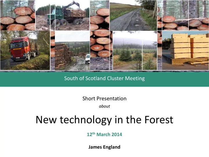
South of Scotland Cluster Meeting Short Presentation
about
New technology in the Forest
12th March 2014 James England
Unmanned Aerial Vehicles James England NDF, BSc(Hons)For, MicFor - - PowerPoint PPT Presentation
South of Scotland Cluster Meeting Short Presentation about New technology in the Forest 12 th March 2014 James England Structure Overview of the presentations Introduction & background Unmanned Aerial Vehicles James England NDF,
about
12th March 2014 James England
James England
NDF, BSc(Hons)For, MicFor
is low
B723 Sandyford near Eskdalemuir
B723 Sandyford near Eskdalemuir
>>> Video
http://youtu.be/QBQN-CKefj4