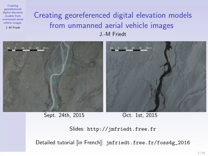
SLIDE 12 Creating georeferenced digital elevation models from unmanned aerial vehicle images J.-M Friedt
Process: dense pointcloud and
Based on previous orientation directory (Ori-tmp), generate
1 correlation maps Res/Cor* 2 georeferenced DEM Res/Z Num* 3 georeferenced orthophotos
Ortho-Res/Orth*mosaic* 4
4 dense pointcloud Res/*.ply
(meshlab or CloudCompare viewers)
mm3d Malt Ortho "$P" tmp "DirMEC=Res" \ ZoomF=4 ZoomI=32 AffineLast=false mm3d Tawny Ortho-Res/ RadiomEgal=0 Nuage2Ply Res/NuageImProf_STD-MALT_Etape_6.xml \ Attr="Ortho-Res/Orthophotomosaic.tif"
Convert the huge TIF to (lossy) PNG:
for i in Orth*/*osaic*.tif; \ do nom=‘echo $i|sed ’s/tif/png/g’‘;\ convert $i $nom;done
Correlation map 18520×13056 pixel orthophoto
4Older MicMac version: Nuage2Ply Res/NuageImProf STD-MALT Etape 6.xml
Attr="Ortho-Res/Ortho-Eg-Test-Redr.tif"
12 / 21