
SLIDE 1
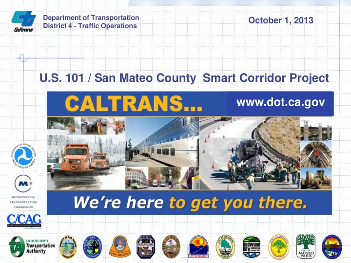
U.S. 101 / San Mateo County Smart Corridor Project www.dot.ca.gov
Department of Transportation District 4 - Traffic Operations
October 1, 2013
U.S. 101 / San Mateo County Smart Corridor Project www.dot.ca.gov - - PowerPoint PPT Presentation
Department of Transportation October 1, 2013 District 4 - Traffic Operations U.S. 101 / San Mateo County Smart Corridor Project www.dot.ca.gov California Department of Transportation (Caltrans) Overview Part of the California Government
Department of Transportation District 4 - Traffic Operations
October 1, 2013
2 Overview
Executive Branch
counties of: Alameda, Contra Costa, Marin, Napa, San Francisco, San Mateo, Solano, Sonoma, and Santa Clara
including 420 miles of carpool lanes
Carquinez, Richmond-San Rafael, San Mateo- Hayward, San Francisco- Oakland, and Dumbarton
(Congestion in the 3rd quarter of 2010 has increased as compared to the same quarter in 2009) 3
4
San Francisco Bay Area
5
0perational 24/7
Caltrans, CHP and MTC/511
monitors and rapidly deploys available traffic management and motorist information services.
communication among stakeholders.
due to incidents, planned highway work, and major special events.
24/7 Transportation Management Center CHP Incident Data & Freeway Service patrol
2,700
660
340
300
50
6 Vehicle Detection Stations Changeable Message Signs CCTV Cameras
Highway Information Network (CHIN)
Information Web Sites
Changeable Message Signs Highway Advisory Radios
7
1-800-427-ROAD
8
(C/CAG)
Mateo, Redwood City, Belmont, Burlingame, Atherton and Menlo Park, County of San Mateo
9
10
Proactively manage traffic already diverted from the freeway to minimize impacts on local arterials
Improve sharing of resources between agencies for more unified transportation management
Improve traffic flow within the corridor during normal
11
predetermined routes to improve traffic flow during incidents to minimize impacts due to vehicles naturally diverting off the freeway
to optimize traffic flow along El Camino Real and local arterials
12
13
14
TMCs
Regional Communications Network
15
16
17
18
19
20
incidents
21
Cities do not have a TMC City Staff to use Workstations at City Halls or
Proved the concept in the Demonstration
22
Central traffic signal, video distribution, and sign control systems used by all agencies
Integration of devices and communication systems into one system
Development of incident response plans for the alternate routes
23
Agencies manage their respective traffic signals
Shared access to CCTV and traffic data
Caltrans implements normal routing information on TBS and ADMS
alternate routes to implement approved timing plans (Flush Plans) to utilize “unused capacity”
Trailblazer signs
24
25
represents local agency interests
roads
State highways
26
along El Camino Real (SR-82) which the Smart Corridor used for the fiber optic backbone
27
2009
San Mateo County
San Mateo County
28
29
30