
SLIDE 1
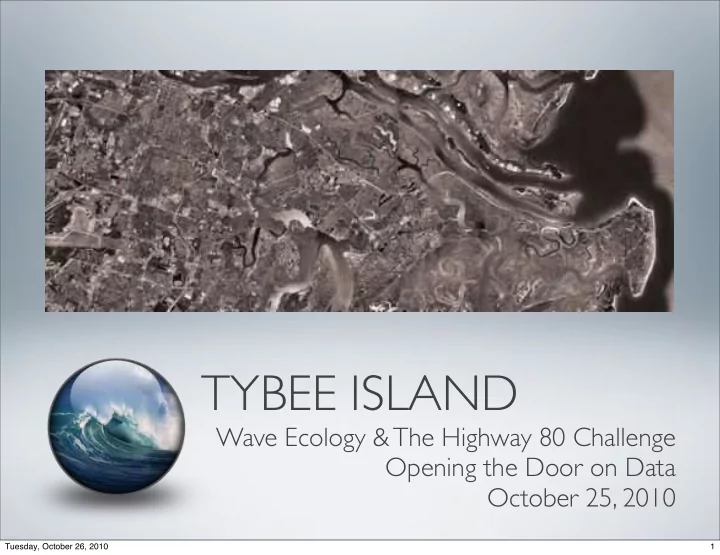
TYBEE ISLAND
Wave Ecology & The Highway 80 Challenge Opening the Door on Data October 25, 2010
1 Tuesday, October 26, 2010
TYBEE ISLAND Wave Ecology & The Highway 80 Challenge Opening - - PowerPoint PPT Presentation
TYBEE ISLAND Wave Ecology & The Highway 80 Challenge Opening the Door on Data October 25, 2010 Tuesday, October 26, 2010 1 As concerned citizens of The City of Tybee Island, we will be conscientious stewards of our unique historic and
1 Tuesday, October 26, 2010
2 Tuesday, October 26, 2010
I = Environmental Impact P = Population (Size of Human Population) A = Affluence (Level of Consumption by the Population) T = Technology (Processes to Obtain Resources for Goods & Wastes)
3 Tuesday, October 26, 2010
4 Tuesday, October 26, 2010
Mobility Connectivity Residential & Commercial Energy Sources Economic Engines Medical Services Emergency Response Consumer Goods
5 Tuesday, October 26, 2010
ANNUAL POPULATION = 3,800 PEAK TOURISM POPULATION = 10,000
6 Tuesday, October 26, 2010
7 Tuesday, October 26, 2010
Food Gas/Fuel Medical/Dental Facilities Solid Waste Disposal Electricity Construction/Building Supplies and Many Others
8 Tuesday, October 26, 2010
Retail Trade = $5,848,000 annually / $786,000 payroll / 59 employees Real Estate, Rental = $3,457,000 annually / $501,000 payroll / 23 employees Accommodation & Food Service = $16,540,000 annually / $4,791,000 / 322 employees
*(Source: US Census Bureau 2002 Economic Census)
Compared to $21,587 Nationally
*(Source: US Census Bureau 2000 Census)
9 Tuesday, October 26, 2010
*Based on Current Permits, EPA Estimations & “Water and Wastewater Treatment Plant Operations” by Frank Spellman 2009
10 Tuesday, October 26, 2010
Includes owner occupied and second/rental homes
Current Residential Population = 3,716
*Based on 2000 Census Data (Includes both rental and owner occupied housing)
11 Tuesday, October 26, 2010
12 Tuesday, October 26, 2010
NARSAL: GA Impervious Cover 1991 NARSAL: GA Impervious Cover 2001 NARSAL: GA Impervious Cover 2008
13 Tuesday, October 26, 2010
NARSAL: GA Land Use Trends 1974 NARSAL: GA Land Use Trends 2001 NARSAL: GA Land Use Trends 2008
14 Tuesday, October 26, 2010
2,000 4,000 6,000 8,000 10,000 12,000 14,000 16,000 18,000 5 10 15 20 25 30 35
Tybee Island Weekly Tra!c Counts Jan - July 2010
Sun Mon Tues Wed Thurs Fri Sat
Jan 2010 July 2010
Numbers of Automobiles Weeks of the Year
Days Breeching Capacity b/w Jan 2010 & Jul 2010 = 23
Fri, Sat or Sun Numbers given for estimation purposes. Exact highway capacity would need further calculation and traffic count data collected from two lane portion of
the four lane capacity area where two lane capacity
Since few ingress and egress points are located between the two lane to four lane conversion the data may still be utilizes for estimation purposes.
Days Breeching Capacity during Labor Day Weekend 2010 = 1
No hourly rates exceeded capacity However highest hourly V/C ratio was 0.55 (1.0 indicates maximum roadway capacity) (peak hr volume / capacity = v/c ratio)
*Based on Highway Capacity Manual v.2000 & “Capacity & Quality of Services of Two-lane Highways by the Midwest Research Institute at UC-Berkley
15 Tuesday, October 26, 2010
*Based on NOAA Tidal Station #8670870 at Fort Pulaski & Chatham County Shallow Coastal Flooding Model at High Tide of 9.2 ft MSLW
16 Tuesday, October 26, 2010
27 Days Above 9.0 ft
Sept 24, 2009 through October24, 2010
11 Days Above 9.2ft
Sept 24, 2009 through October24, 2010 8 Months Above 9.2ft
*Based on NOAA Tidal Station #8670870 at Fort Pulaski & Chatham County Shallow Coastal Flooding Model
17 Tuesday, October 26, 2010
18 Tuesday, October 26, 2010
upon:
resources within the area
19 Tuesday, October 26, 2010
20 Tuesday, October 26, 2010
Wave Ecology: Route 80 & Tybee Island
Emergency Management Services
L e g e n d C E M A _ H u r r i c a n e _ D e b r i s _ S t21 Tuesday, October 26, 2010
22 Tuesday, October 26, 2010
Water 7 Marinas located along the corridor = 0 public Tybee Island two water-born vessels - 1 direct beach launch capacity Savannah - Chatham PD no marine patrol watch beyond Bull River Air 7 Helipad areas (defined by 100ft x 100ft cleared upland) 1+ Coast Guard helicopters available (no MOU/LOA) when not supporting LNG
Land Hwy 80 Emergency Jurisdiction not Tybee Island, yet only method of connectivity Metro PD not frequently able to offer patrol units to reduce speed along Hwy 80 Largest Traffic Incident Area near Bull River Bridge (Hwy 80 & Johnny Mercer) Private shuttle and electric car business available on Tybee Island Known central activity hubs
*Based on data provided by the Savannah - Chatham PD, Tybee Island PD, CEMA, Tybee Island Fire Department, and U.S. Coast Guard
23 Tuesday, October 26, 2010
Image of Tsewang Norbu of the Himalyan village of Digger. Trained at the Barefoot College of Tilonia, India in the installation and repair of solar photovoltaic units. All units were carried across the 18,400ft Khardungla Pass. Just an example of the commitment
life and carrying capacity of his community.
24 Tuesday, October 26, 2010