
SLIDE 1
1
Transitions for the Sacramento-San Joaquin Delta Jay R. Lund Civil - - PowerPoint PPT Presentation
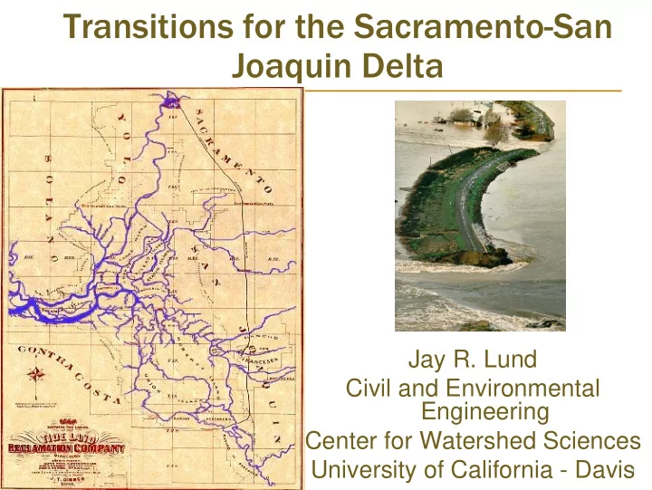
Transitions for the Sacramento-San Joaquin Delta Jay R. Lund Civil and Environmental Engineering Center for Watershed Sciences University of California - Davis 1 Californias Water Supply System Diverse water supplies Mostly in
1
2
Diverse water supplies
Diverse water demands
Extensive use of
Sacramento-San
3
Bay Area – 30% of
Southern Central Valley
Delta farmers – 1+ maf Sacramento Valley –
4
Formed 6,000 years
Estuary from a drown
740,000 acres of
Largest estuary in the
Delta, 1905
5
http://sfbay.wr.usgs.gov/access/yearbook.html
6
1850s - present Leveeing wetlands –
540,000 acres of
Early major
Rapid land
Rising costs to
Early extinctions
7
8
1950s - present Major water export
540,000 acres of
Continued land
Worsening water quality
9
0 – 6 hours: Islands flood with fresh water 0 – 6 hours: Islands flood with fresh water
10
12 – 24 hours: Salt water intruding into Delta 12 – 24 hours: Salt water intruding into Delta
11
1 – 7 days: Salt water throughout Delta 1 – 7 days: Salt water throughout Delta
12
30 days: A saline estuary 30 days: A saline estuary
13
Physical instability
Ecosystem instability
Economic instability
14
Large bodies of
Increased salinity,
Higher water
Based on economic value of land and assets, many islands not worth repairing after flooding (blue)
15
Re-flooding some
Fish habitat and water
Water supplies
Jones Tract 2004 (above) and Liberty Island since 1998
16
Island repair funding and
Identifying islands
Aid and incentives for
Urbanization in Delta
17
Habitat plans for
Favor diverse habitat and
Plan to make mistakes; they
Experimentation and
18
19
20
Economic Cost ($Billions/year) Likelihood of Fish Viability (%)
No Exports Peripheral Canal Dual Conveyance Through- Delta Exports
20 40 60 80 100 0.5 1 1.5 2 2.5 3
Delta smelt
21
1850/1861: Swamp Land Act 1933:
1959:
1978:
1982:
1986:
1992
1994:
2000:
2005:
2007:
21
22
2004:
2005:
2006:
2007-08: Creating Delta Vision & Strategic Plan
22
23