
SLIDE 1
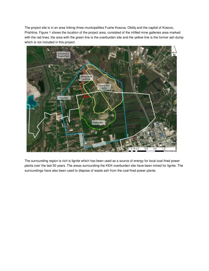
The project site is in an area linking three municipalities Fushe Kosova, Obiliq and the capital of Kosovo,
- Prishtina. Figure 1 shows the location of the project area, consisted of the infilled mine galleries area marked
with the red lines, the area with the green line is the overburden site and the yellow line is the former ash dump which is not included in this project. The surrounding region is rich is lignite which has been used as a source of energy for local coal-fired power plants over the last 50 years. The areas surrounding the KEK-overburden site have been mined for lignite. The surroundings have also been used to dispose of waste ash from the coal-fired power plants.
Former Ash dump Overburden Infilled mine galleries KOSOVO A Power Plant Kryshevc