
SLIDE 1
The Polar dream is about collaboration An integrated and - - PowerPoint PPT Presentation
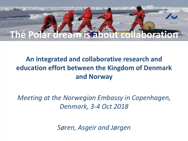
The Polar dream is about collaboration An integrated and collaborative research and education effort between the Kingdom of Denmark and Norway Meeting at the Norwegian Embassy in Copenhagen, Denmark, 3-4 Oct 2018 Sren, Asgeir and Jrgen
Eureka: Idea launched at Outreach Campaign June 2018 organized by UiT – The Arctic University of Norway
http://www.isaaffik.org
Greenland
measurements and from few monitoring sites to the Greenland scale
Rysgaard et al 2003, 35:301-312. Arctic, Antarctic and Alpine Research
ARC iClimate
Norway: Ships: Helmer Hanssen, Kronprins Haakon, Gunnerus, REV Robotic platforms by NTNU AUR and UAV Labs: 5 AUVs, 3 ROVs, 4 USV, 5-10 UAV, smallsats from 2021 Denmark: Ships: Dana, Lauge Koch Long-term monitoring programs: Zackenberg, Nuuk, Disko & St Nord, various moorings and autonomous platforms (drones, AUVs), Royal Greenland trawler instrumentation Greenland: Ships: Sanna, and new Paamiut Long-term fishery and oceanographic data series, monitoring programs, various moorings. Various research stations in Greenland Faroe Islands: Ships: Magnus Heinason Long-term fishery and oceanographic, nutrients data series, monitoring programs, various moorings.
Penguin B fixed-wing UAV X8 fixed-wing UAV Hexa-copters
ROV Minerva ROV 30k ROV SEABOTIX AUV Remus 100 HUGIN HUS 2 LAUVs
Gunnerus (NTNU) Unmanned vessel – Jetyak (UiT) Unmanned vessel – 4 Otters (NTNU) Helmer Hanssen (UiT) Kronprins Haakon (UiT)
ROV Minerva AUV REMUS 100 at Svalbard