
SLIDE 1
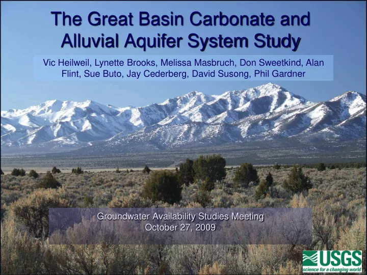
The Great Basin Carbonate and Alluvial Aquifer System Study
Groundwater Availability Studies Meeting October 27, 2009 Vic Heilweil, Lynette Brooks, Melissa Masbruch, Don Sweetkind, Alan Flint, Sue Buto, Jay Cederberg, David Susong, Phil Gardner