
SLIDE 1
www.naturalengland.org.uk
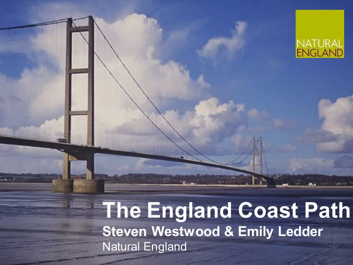
The England Coast Path
Steven Westwood & Emily Ledder
Natural England
The England Coast Path Steven Westwood & Emily Ledder Natural - - PowerPoint PPT Presentation
The England Coast Path Steven Westwood & Emily Ledder Natural England www.naturalengland.org.uk What We Are Going To Cover National context Relevant legislation Coastal access rights in detail The process & timescales
www.naturalengland.org.uk
Natural England
“I’m pleased to announce today that the government will be putting the funding in place to ensure the path is completed by 2020.” Nick Clegg, DPM, 3rd September 2014
An expanded team:
Target to deliver:
Open:
Approved:
Work in progress:
To start:
Marine and Coastal Access Act 2009
with Access Authorities to improve public access to and enjoyment of the English coastline
and associated coastal margin
Provides the access rights and control regime
1949 Provides the path alignment powers and the extra new powers
“Walking route for whole English coast - the England Coast Path (ECP) and associated coastal “margin” accessible on foot. Coastal Access: Approved Scheme 2013 Statutory guidance we follow
and private interests
margin)
management arrangements
reports
PRoW
rights (“coastal access rights”)
‘excluded’ by direction
Categories of land which are excepted from the coastal access rights under Schedule 1 of CROW include, eg:
Excepted, with provision for an access strip:
Margin Trail
Excepted land Land with long-term exclusions Spreading room
Any land within the margin, other than the trail itself, which has public access rights It includes;
term exclusions)
the coast changes
through Shoreline Management Plans
These changes may result due to;
realignment/non-intervention
effective control’
1st March to 31st July, but must be on leads “in the vicinity of livestock”
For the purposes of:
conservation, heritage, national defence, public safety (eg. saltmarsh or flats) Provisions to enable continuity:
routes (seasonal)
area based
(ASFA) = HRA screening decision (LSE)
report to Secretary of State
1 Prepare
(Autumn 2016)
2 Develop 3 Propose 4 Determine 5 Open
issues and opportunities
stakeholders and Access Authority
new coastal access duty - to establish a long-distance walking route around the English coast, and to identify land beside it, the coastal margin, which should be accessible to the public on foot
Access Scheme, when discharging the coastal access duty
together with nature conservation